Navigation
Alpin Quest PRO – Outdoor GPS
An independent field-mapping app with offline layers, coordinate formats, waypoints and route records.
Consider for noncritical map organization after format checks
GPX/KML/GeoJSON interchange connects field records with other tools.
Keep in mind: Brand naming does not establish affiliation with similarly named apps. It is not certified surveying, tactical guidance or guaranteed safe navigation.
Inside the app
Official product images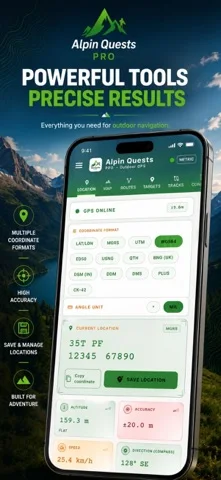
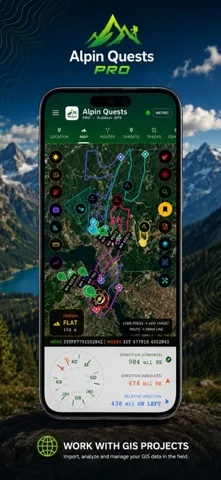
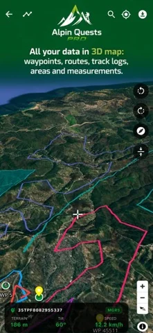
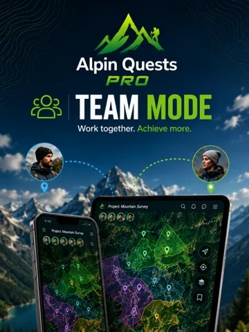
What you can do
- Download eligible maps
- Record waypoints/tracks
- Draw polygons/routes
- Import/export supported files
Good for
- Users validating coordinates against appropriate references.
Consider alternatives for
- People requiring legal boundary certification.
Limitations & considerations
- Captured minimum: iOS 15.0.
- Brand naming does not establish affiliation with similarly named apps. It is not certified surveying, tactical guidance or guaranteed safe navigation.
Privacy & permissions
Local-data claims apply to described storage; sharing and Team Mode can disclose sensitive locations.
Sources & review notes Updated Nov 11, 2026
Reviewed by iApp4Me Editorial Team. Recommendations use the linked documentation and attributed accounts; device observations are identified separately.
- US App Store developer description
Complete description, download price and compatibility metadata captured 2026-11-02.
No comments yet. Be the first to share your experience.