Navigation
Altitude App
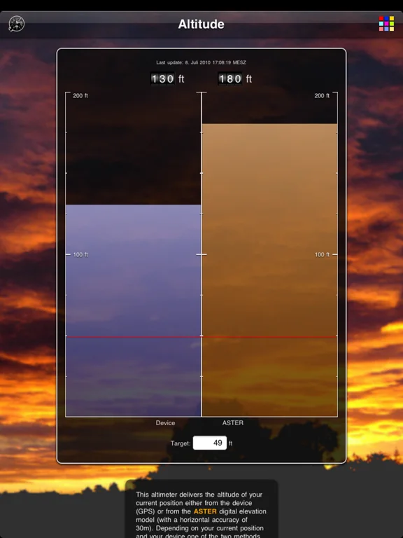
Compare device-based altitude with a terrain-model elevation estimate.
Useful for rough elevation context on compatible devices
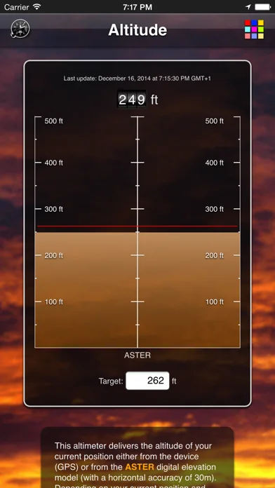
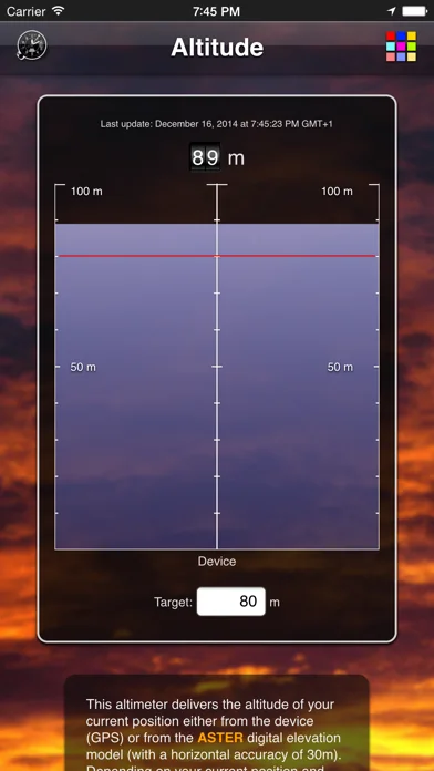
Selectable sources, units and a target altitude make differences visible.
Keep in mind: GPS vertical error and terrain-model resolution can be substantial; 30-meter horizontal resolution is not guaranteed vertical precision.
Inside the app
Official product images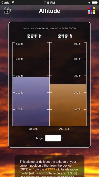
What you can do
- Device/ASTER/combined source choices
- Meter/feet display
- Optional target altitude and split-view use
Good for
- People comparing approximate elevations
Consider alternatives for
- Aviation altimetry, surveying or rescue decisions
Limitations & considerations
- Captured minimum: iOS 12.0.
- GPS vertical error and terrain-model resolution can be substantial; 30-meter horizontal resolution is not guaranteed vertical precision.
Privacy & permissions
Position requests can expose location to the chosen elevation service; manage permission deliberately.
Sources & review notes Updated Nov 12, 2026
Reviewed by iApp4Me Editorial Team. Recommendations use the linked documentation and attributed accounts; device observations are identified separately.
- US App Store developer description
Complete description, download price and compatibility metadata captured 2026-11-02.
No comments yet. Be the first to share your experience.