Navigation
Aqua Map Boating
Aqua Map downloads regional nautical charts and adds route, track and optional instrument features.
Consider as supplementary navigation with correct subscriptions
Offline chart areas can support planning away from the connection.
Keep in mind: Chart, Expert and Master access are separate; data, GPS and anchor alerts can fail and do not replace navigation competence or required equipment.
Inside the app
Official product images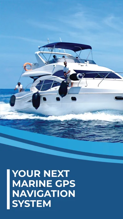
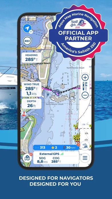
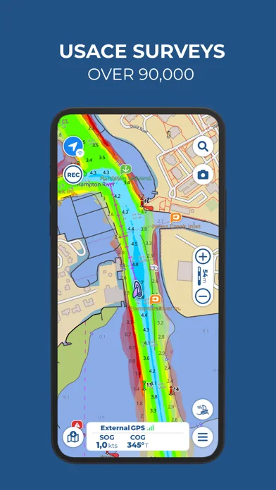
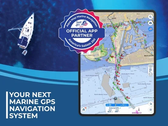
What you can do
- Download subscribed chart areas
- Plan supported routes and record tracks
- Use eligible tides, anchor or NMEA features
Good for
- Boaters verifying appropriate regional charts
Consider alternatives for
- Users relying on one phone as their sole navigation safeguard
Limitations & considerations
- Captured minimum: iOS 15.0.
- Chart, Expert and Master access are separate; data, GPS and anchor alerts can fail and do not replace navigation competence or required equipment.
Privacy & permissions
Tracks and live sharing reveal precise locations; restrict community visibility.
Sources & review notes Updated Nov 10, 2026
Reviewed by iApp4Me Editorial Team. Recommendations use the linked documentation and attributed accounts; device observations are identified separately.
- US App Store developer description
Complete description, download price and compatibility metadata captured 2026-11-02.
No comments yet. Be the first to share your experience.