Navigation
BLM Public Lands Map Guide USA
Discover recreational points and mapped features on US BLM public lands.
Useful for preliminary outdoor trip research
Offline imagery, category filters and personal points help organize visits.
Keep in mind: The dataset is described as Winter 2025; boundaries are not legal surveys or guarantees of public access.
Inside the app
Official product images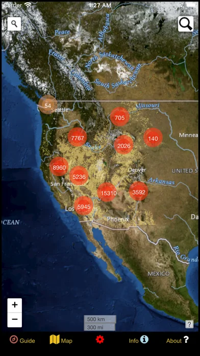
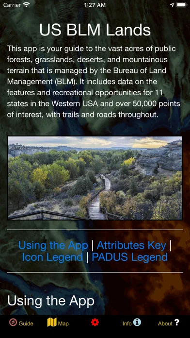
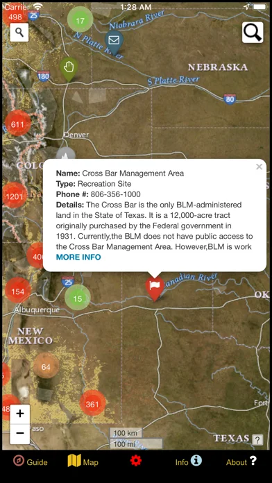
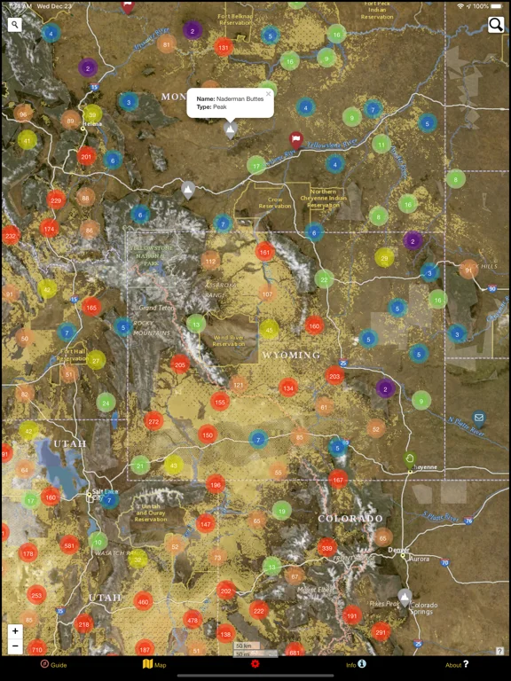
What you can do
- Recreation point map
- Offline imagery and searches
- Custom point export
Good for
- Visitors researching western US public lands
Consider alternatives for
- Current closure, ownership or permit decisions
Limitations & considerations
- Captured minimum: iOS 12.0.
- The dataset is described as Winter 2025; boundaries are not legal surveys or guarantees of public access.
Privacy & permissions
Geolocation and saved points reveal routes; inspect exports before sharing.
Sources & review notes Updated Nov 11, 2026
Reviewed by iApp4Me Editorial Team. Recommendations use the linked documentation and attributed accounts; device observations are identified separately.
- US App Store developer description
Complete description, download price and compatibility metadata captured 2026-11-02.
No comments yet. Be the first to share your experience.