
Navigation
BoatNerd
Follow AIS vessel reports with map layers, vessel search and passage estimates.
Useful for ship watchers planning a shore-side viewing session
Profiles and waypoint ETA tools connect vessel movement with likely passages.
Keep in mind: AIS coverage can be missing or delayed, and ETA is an estimate; this is not certified navigation or collision avoidance.
Inside the app
Official product images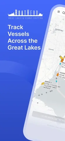
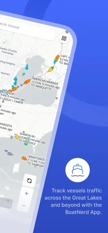
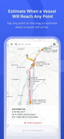
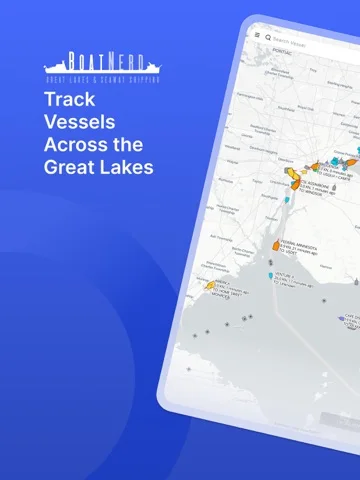
What you can do
- AIS map and vessel profiles
- Name search and passage views
- ETA waypoints, chart and weather layers
Good for
- Great Lakes enthusiasts and marine photographers
Consider alternatives for
- A vessel's primary navigation display
Limitations & considerations
- Captured minimum: iOS 15.6.
- AIS coverage can be missing or delayed, and ETA is an estimate; this is not certified navigation or collision avoidance.
Privacy & permissions
Map/traffic requests and any location permissions reveal use to service providers; avoid sharing private observation locations unnecessarily.
Sources & review notes Updated Nov 12, 2026
Reviewed by iApp4Me Editorial Team. Recommendations use the linked documentation and attributed accounts; device observations are identified separately.
- US App Store developer description
Complete description, download price and compatibility metadata captured 2026-11-02.
No comments yet. Be the first to share your experience.