
Navigation
CalTopo: Backcountry Mapping
CalTopo builds and shares maps with terrain layers, GPS tracks and eligible offline downloads.
Consider as supplementary backcountry planning
Custom layers and team maps support preparation.
Keep in mind: Satellite-ready wording does not establish independent satellite communication on every phone; maps and avalanche layers are not guarantees of safe travel.
Inside the app
Official product images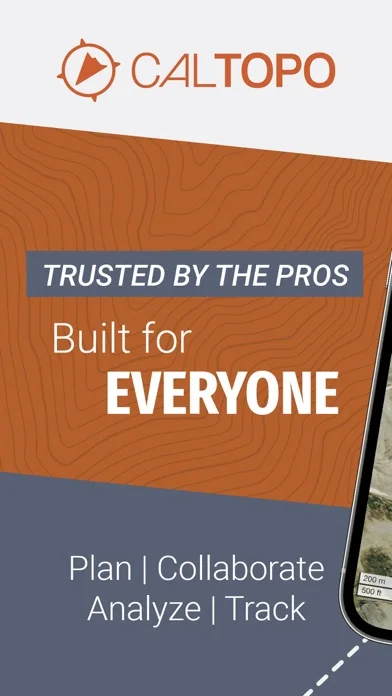
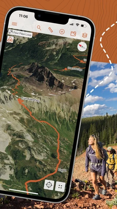
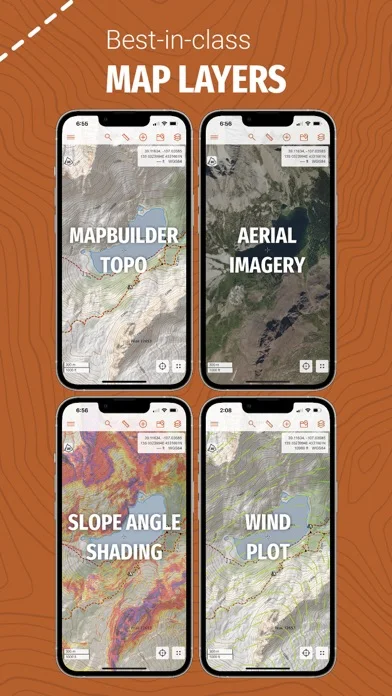
What you can do
- Plan supported routes and waypoints
- Download eligible map layers
- Track GPS or collaborate on shared maps
Good for
- Experienced users verifying current terrain conditions
Consider alternatives for
- Users replacing navigation skills or emergency equipment
Limitations & considerations
- Captured minimum: iOS 16.0.
- Satellite-ready wording does not establish independent satellite communication on every phone; maps and avalanche layers are not guarantees of safe travel.
Privacy & permissions
Live tracks and shared maps reveal exact locations; restrict team access.
Sources & review notes Updated Nov 10, 2026
Reviewed by iApp4Me Editorial Team. Recommendations use the linked documentation and attributed accounts; device observations are identified separately.
- US App Store developer description
Complete description, download price and compatibility metadata captured 2026-11-02.
No comments yet. Be the first to share your experience.