
Navigation
Caltrans QuickMap
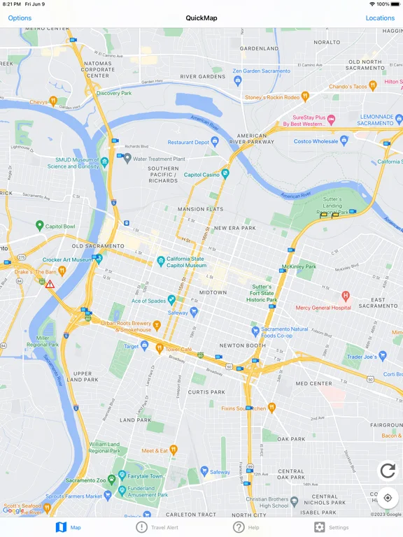
Caltrans QuickMap is California's official map for highway speeds, cameras, closures and selected road features.
Choose it to check Caltrans information before or during a safely parked planning stop.
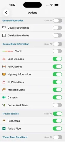
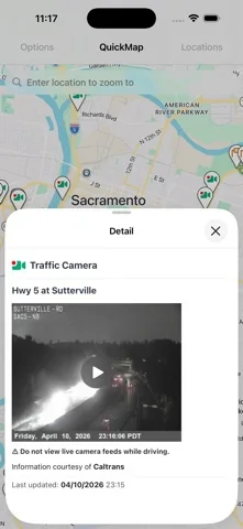
Map layers combine incident and winter information with camera snapshots.
Keep in mind: Feeds refresh at intervals and can lag; the map is not a substitute for signs or emergency directions.
Inside the app
Official product images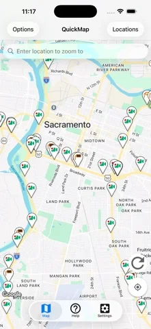
What you can do
- View congestion and incidents
- Check closures, chain controls and cameras
- Enable optional nearby-closure notifications
Good for
- People planning travel on California's highway network.
Consider alternatives for
- Someone seeking a general nationwide navigation app.
Limitations & considerations
- Captured minimum: iOS 18.6.
- Feeds refresh at intervals and can lag; the map is not a substitute for signs or emergency directions.
Privacy & permissions
Geotargeted alerts use background location and are optional; basic map use does not require them.
Sources & review notes Updated Nov 11, 2026
Reviewed by iApp4Me Editorial Team. Recommendations use the linked documentation and attributed accounts; device observations are identified separately.
- US App Store developer description
Complete description, download price and compatibility metadata captured 2026-11-02.
- Caltrans QuickMap FAQ
Explains feed display, optional geotargeted alerts and location requirements.
No comments yet. Be the first to share your experience.