
Cartograph Maps 2
Cartograph Maps 2 views offline vector or raster maps and online layers, with track drawing, GPX exchange and described route tools.
Pick for existing Mapsforge maps and desktop route review.
Local map files, overlays and elevation views support a flexible mapping workflow.
Keep in mind: This is version 2. The cached official site describes version 3, so its newer routing, cloud and drawing features are not established as included here; Mac location hardware also affects recording.
Inside the app
Official product images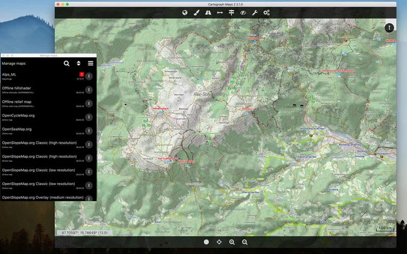
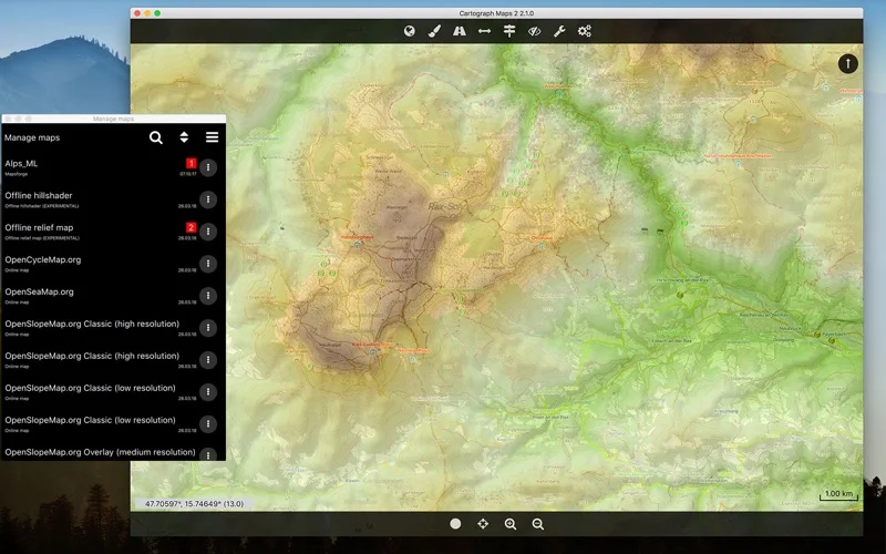
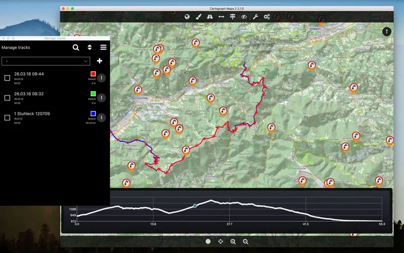
What you can do
- View supported Mapsforge and raster maps
- Draw tracks and import/export GPX
- Use documented overlays and elevation information
Good for
- Users deliberately maintaining Cartograph 2 maps and track files.
Consider alternatives for
- People expecting current Cartograph 3 functionality or a guaranteed standalone navigation device.
Limitations & considerations
- Captured minimum: macOS 10.13.
- This is version 2. The cached official site describes version 3, so its newer routing, cloud and drawing features are not established as included here; Mac location hardware also affects recording.
Privacy & permissions
Tracks and geotagged photos reveal movements and locations. Online routes, uploads or live sharing transmit information to the selected service.
Sources & review notes Updated Nov 15, 2026
Reviewed by iApp4Me Editorial Team. Recommendations use the linked documentation and attributed accounts; device observations are identified separately.
- US App Store developer description
Complete description, release notes, download price and compatibility metadata captured 2026-11-02.
- Official developer disclosure
Full cached official text reviewed; captured 2026-11-12. Current service offers are distinguished from the captured app edition.
No comments yet. Be the first to share your experience.