Navigation
ChangeLens Earth
ChangeLens Earth 对比同区域两个日期附近的卫星影像,拖动分界查看变化并输出地图文件。
适合观察地表变化
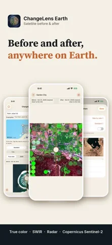
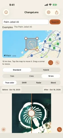
可切真彩、SWIR与雷达层,导出带日期比例尺的对比和GeoTIFF。
Keep in mind: 选日可能自动移到附近清晰影像,分辨率和覆盖受源限制;不能当实时监控或测绘认证。
Inside the app
Official product images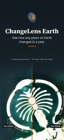
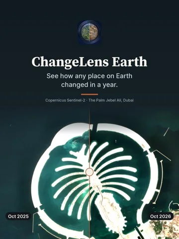
What you can do
- 地点区域与双日期
- 多光谱、雷达和对比
- 图片与GeoTIFF导出
Good for
- 懂得查看采集日期的用户
Consider alternatives for
- 需要指定日期必有影像或准确灾损结论的人
Limitations & considerations
- Captured minimum: iOS 17.0.
- 选日可能自动移到附近清晰影像,分辨率和覆盖受源限制;不能当实时监控或测绘认证。
Privacy & permissions
无需位置权限,地点由搜索输入;图像和地名请求仍会联网,导出可能暴露关注区域。
Sources & review notes Updated Nov 15, 2026
Reviewed by iApp4Me Editorial Team. Recommendations use the linked documentation and attributed accounts; device observations are identified separately.
- US App Store developer description
Complete description, release notes, download price and compatibility metadata captured 2026-11-02.
No comments yet. Be the first to share your experience.