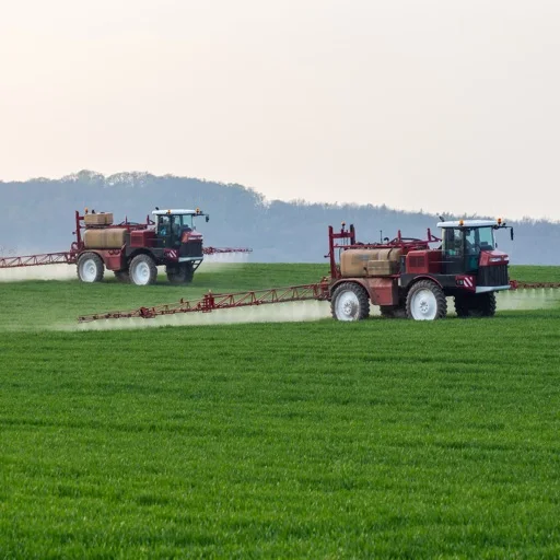
Farm Sprayer GPS
A GPS coverage-map recorder for field work, using a configured implement width to show traveled passes and estimated area.
Consider for approximate job records with a validated positioning setup
Saved field details and several export formats can support later record review without a dedicated monitor subscription.
Keep in mind: The developer warns that phone GPS can be off by meters and coverage is not a survey or proof of material application. It does not determine a safe chemical rate.
Inside the app
Official product images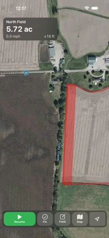
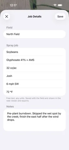
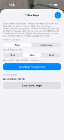
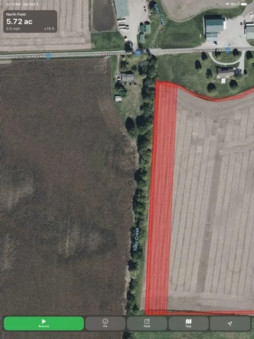
What you can do
- Record, pause and resume field passes
- Display overlaps and estimated acres
- Load supported offline aerial imagery
- Save job notes and export KML, GPX, GeoJSON or CSV
Good for
- Operators who understand positioning limits and maintain proper operational and application records.
Consider alternatives for
- People seeking certified area measurement, automatic steering or verified pesticide application control.
Limitations & considerations
- Captured minimum: iOS 15.0.
- The developer warns that phone GPS can be off by meters and coverage is not a survey or proof of material application. It does not determine a safe chemical rate.
Privacy & permissions
Field locations, product notes and operator details are sensitive. The developer says optional cloud backup is off by default and uploads require enabling it or manual action.
Sources & review notes Updated Nov 11, 2026
Reviewed by iApp4Me Editorial Team. Recommendations use the linked documentation and attributed accounts; device observations are identified separately.
- US App Store developer description
Complete description, download price and compatibility metadata captured 2026-11-02.
No comments yet. Be the first to share your experience.