Navigation
Flytomap All in One HD Charts
Download marine, lake and outdoor charts and manage tracks and waypoints.
Useful as a supplementary map reference for a checked area
Offline chart storage, overlays and route records gather several planning tools.
Keep in mind: Coverage and update status vary by chart; download before travel and never substitute it for authoritative navigation equipment or current notices.
Inside the app
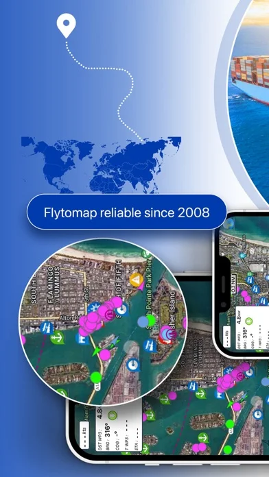
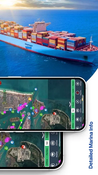
Official product images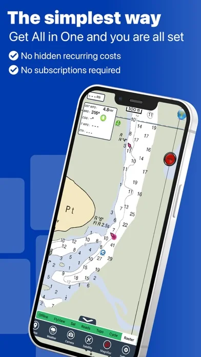
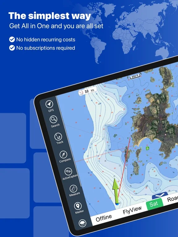
What you can do
- Downloaded chart library
- Weather/satellite/terrain overlays
- Waypoints, tracks and distance tools
Good for
- People comparing maps with trusted local references
Consider alternatives for
- Sole marine or aviation navigation
Limitations & considerations
- Captured minimum: iOS 15.6.
- Coverage and update status vary by chart; download before travel and never substitute it for authoritative navigation equipment or current notices.
Privacy & permissions
Background GPS, geotagged photos and emailed tracks expose travel history; restrict sharing and review battery use.
Sources & review notes Updated Nov 12, 2026
Reviewed by iApp4Me Editorial Team. Recommendations use the linked documentation and attributed accounts; device observations are identified separately.
- US App Store developer description
Complete description, download price and compatibility metadata captured 2026-11-02.
No comments yet. Be the first to share your experience.