
Navigation
Footpath Route Planner
Footpath traces map routes and estimates distance or elevation with optional navigation and activity analysis.
Consider for planning a route you will independently verify
Road snapping speeds drawing while manual correction remains possible.
Keep in mind: Map access, trail status and elevation can be inaccurate; GPS drains battery and paid navigation needs routes downloaded in advance for offline use.
Inside the app
Official product images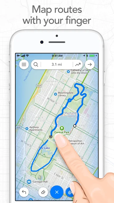
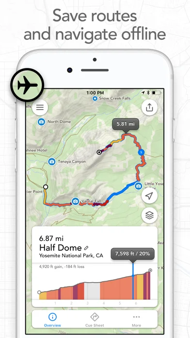
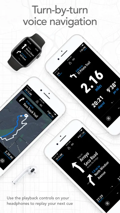
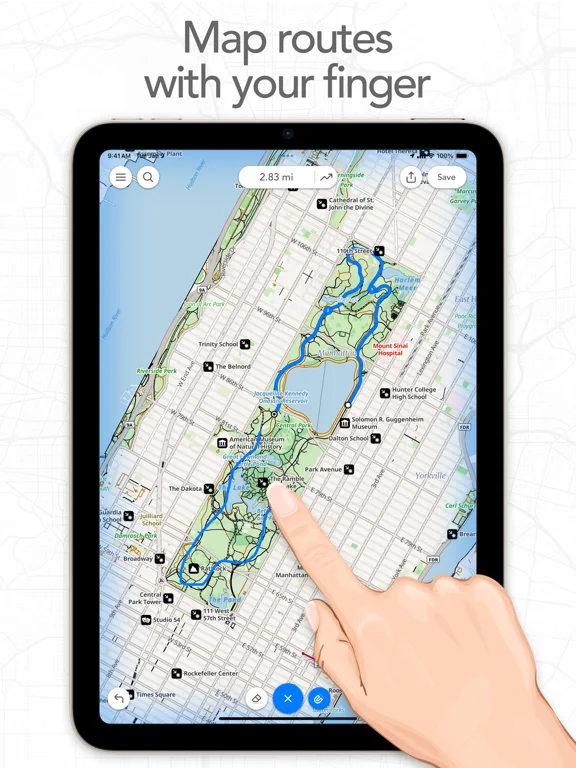
What you can do
- Trace and edit a route on the map
- Estimate distance and elevation
- Use eligible GPX export, offline maps or navigation
Good for
- Users planning supported walking or cycling routes
Consider alternatives for
- Users relying on one app as sole backcountry safety equipment
Limitations & considerations
- Captured minimum: iOS 18.0.
- Map access, trail status and elevation can be inaccurate; GPS drains battery and paid navigation needs routes downloaded in advance for offline use.
Privacy & permissions
Precise routes and optional Health metrics reveal habits; control shared links and exports.
Sources & review notes Updated Nov 10, 2026
Reviewed by iApp4Me Editorial Team. Recommendations use the linked documentation and attributed accounts; device observations are identified separately.
- US App Store developer description
Complete description, download price and compatibility metadata captured 2026-11-02.
No comments yet. Be the first to share your experience.