Navigation
Geo Elevation: Contour & Slope
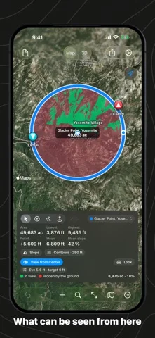
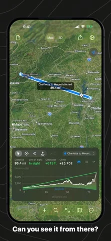
Draw paths/areas to inspect sampled terrain profiles, slopes, contours and estimated visibility.
Useful for preliminary terrain exploration with known data limits
Linked maps/charts and report exports make selected geometry inspectable.
Keep in mind: 30m ASTER/Mapzen sampling is not a land survey, obstacle model or avalanche forecast; line-of-sight ignores unmodeled objects and routing/data can be wrong.
Inside the app
Official product images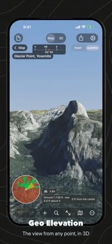
What you can do
- Path/area elevation and slope statistics
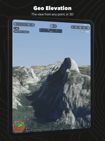
- Terrain/contour/visibility visualization in map/3D
- GPX/KML/GeoJSON intake and CSV/PDF/STL exports
Good for
- Users validating exploratory terrain estimates against primary sources
Consider alternatives for
- Safety-critical route clearance or legal boundary/engineering survey
Limitations & considerations
- Captured minimum: iOS 17.6.
- 30m ASTER/Mapzen sampling is not a land survey, obstacle model or avalanche forecast; line-of-sight ignores unmodeled objects and routing/data can be wrong.
Privacy & permissions
Elevation is fetched from developer servers and maps need internet; optional iCloud documents reveal routes/areas. Protect shared exports.
Sources & review notes Updated Nov 12, 2026
Reviewed by iApp4Me Editorial Team. Recommendations use the linked documentation and attributed accounts; device observations are identified separately.
- US App Store developer description
Complete description, download price and compatibility metadata captured 2026-11-02.
No comments yet. Be the first to share your experience.