
Navigation
GIS Kit
A field GIS viewer/collector for points, lines, polygons and attributes.
Consider after testing actual data formats and offline maps
Templates and layers connect observations with structured geographic records.
Keep in mind: Shapefile export is a Pro in-app upgrade, not necessarily base. GPS and projection errors prevent treating it as certified surveying.
Inside the app
Official product images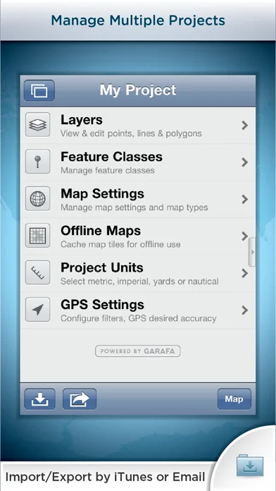
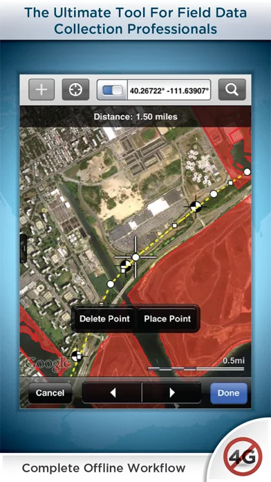
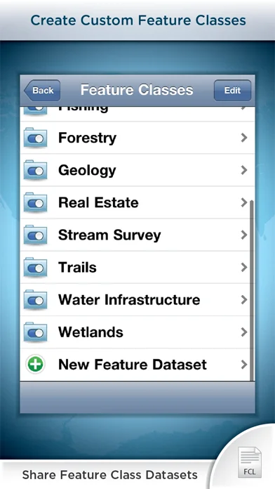
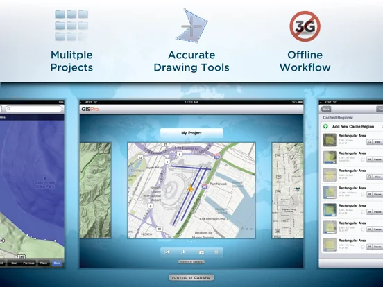
What you can do
- Cache eligible maps
- Import supported files
- Collect attributes/photos
- Organize projects/layers
Good for
- Field users validating format round trips.
Consider alternatives for
- People expecting automatic legal boundary certification.
Limitations & considerations
- Captured minimum: iOS 9.0.
- Shapefile export is a Pro in-app upgrade, not necessarily base. GPS and projection errors prevent treating it as certified surveying.
Privacy & permissions
Locations, photos and email exports may be sensitive; background GPS consumes power.
Sources & review notes Updated Nov 11, 2026
Reviewed by iApp4Me Editorial Team. Recommendations use the linked documentation and attributed accounts; device observations are identified separately.
- US App Store developer description
Complete description, download price and compatibility metadata captured 2026-11-02.
No comments yet. Be the first to share your experience.