
Navigation
Good Maps: Trails,Street View
Explore trails, street imagery and map layers, then sketch routes and save selected regions.
Useful for preliminary trip research with a reliable backup
Favorites and downloadable areas connect browsing with later reference.
Keep in mind: Global/professional/reliable claims are unverified; imagery, trail access, routes and offline completeness vary. Never rely on this alone for wilderness safety.
Inside the app
Official product images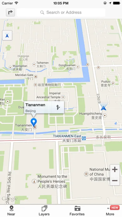


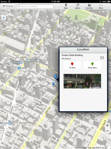
What you can do
- Trail/POI/street-view discovery
- Drag route planning and elevation/distance views
- Favorites and selected-region offline maps
Good for
- Travelers independently checking maps and local access
Consider alternatives for
- Guaranteed safe routes or complete offline emergency navigation
Limitations & considerations
- Captured minimum: iOS 18.5.
- Global/professional/reliable claims are unverified; imagery, trail access, routes and offline completeness vary. Never rely on this alone for wilderness safety.
Privacy & permissions
Routes/location/favorites can expose habits; review map providers and download scope, and avoid public sensitive location sharing.
Sources & review notes Updated Nov 12, 2026
Reviewed by iApp4Me Editorial Team. Recommendations use the linked documentation and attributed accounts; device observations are identified separately.
- US App Store developer description
Complete description, download price and compatibility metadata captured 2026-11-02.
No comments yet. Be the first to share your experience.