
Travel
Google Earth
Google Earth explores satellite imagery, three-dimensional terrain and available Street View scenes with map collaboration.
Consider for visual geographic exploration
Several image perspectives help inspect the same area.
Keep in mind: Coverage and image dates vary; imagery is not live surveillance or a substitute for legal boundaries and current navigation.
Inside the app
Official product images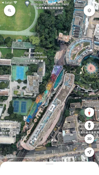
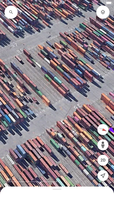
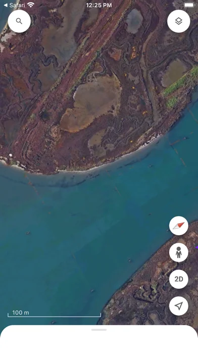
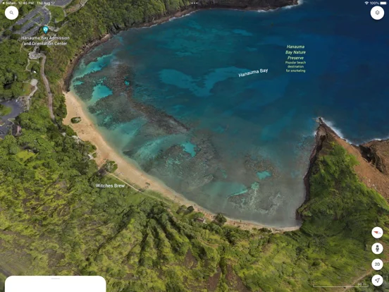
What you can do
- Explore satellite views
- Inspect supported 3D terrain and buildings
- Use available Street View and map collaboration
Good for
- Users exploring places visually
Consider alternatives for
- Users requiring live imagery or certified property measurements
Limitations & considerations
- Captured minimum: iOS 17.0.
- Coverage and image dates vary; imagery is not live surveillance or a substitute for legal boundaries and current navigation.
Privacy & permissions
Shared maps and saved locations may reveal personal interests; manage account visibility.
Sources & review notes Updated Nov 10, 2026
Reviewed by iApp4Me Editorial Team. Recommendations use the linked documentation and attributed accounts; device observations are identified separately.
- US App Store developer description
Complete description, download price and compatibility metadata captured 2026-11-02.
No comments yet. Be the first to share your experience.