Hawaii Ocean Map
Explore Hawaiian seafloor maps offline, mark places and record GPS tracks.
Choose it for recreational bathymetry and waypoint organisation.
Depth contours and imported map layers connect research with saved places.
Keep in mind: The publisher states it is not a marine navigation device; verify official charts, restrictions and equipment independently.
Inside the app
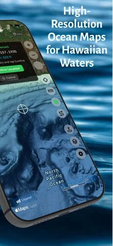
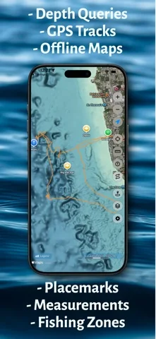
Official product images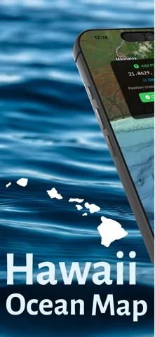
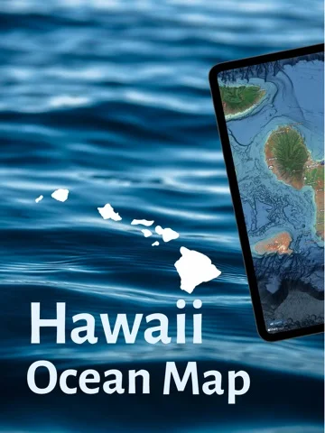
What you can do
- Download supported Hawaiian bathymetry
- Query depths and save/import waypoints
- Record and export GPX tracks
App Store review themes
Recurring praise and complaints, grouped by topic.
3 reviews · US App Store · Written feedback; review platforms are not identified
What reviewers like
No recurring positive theme has at least three supporting reviews.
What reviewers dislike
No recurring negative theme has at least three supporting reviews.
Good for
- Recreational users studying Hawaiian underwater terrain.
Consider alternatives for
- Users relying on the app as their sole navigation or safety system.
Limitations & considerations
- Captured minimum: iOS 17.6.
- The publisher states it is not a marine navigation device; verify official charts, restrictions and equipment independently.
Privacy & permissions
Tracks and imported layers can sync through iCloud and reveal private fishing or dive sites; share selectively.
Sources & review notes Updated Nov 11, 2026
Reviewed by iApp4Me Editorial Team. Recommendations use the linked documentation and attributed accounts; device observations are identified separately.
- US App Store developer description
Complete description, download price and compatibility metadata captured 2026-11-02.
No comments yet. Be the first to share your experience.