
Sports
HuntEdge
Combine hunting maps, field observations, weather context and saved access planning.
Useful as a planning notebook alongside official maps and rules
Offline areas and record exports provide a field workflow and recovery path.
Keep in mind: AI/activity/weather guidance is not a guarantee; boundaries, access, regulations and conditions require independent checks. Offline maps must be downloaded intentionally.
Inside the app
Official product images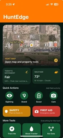
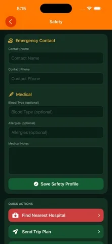
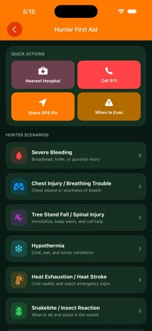
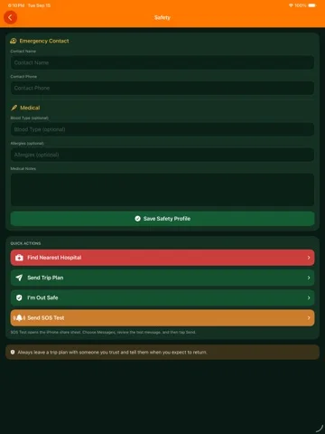
What you can do
- Map/stand/track records and offline topo
- Trail-camera reading and movement/weather context
- Harvest/gear records, CSV and backup ZIP restore
Good for
- Authorized hunters maintaining verified access and safety plans
Consider alternatives for
- Certified navigation, guaranteed animal predictions or emergency care
Limitations & considerations
- Captured minimum: iOS 17.6.
- AI/activity/weather guidance is not a guarantee; boundaries, access, regulations and conditions require independent checks. Offline maps must be downloaded intentionally.
Privacy & permissions
Precise stand/routes and photos are sensitive; on-device animal suggestions do not establish all HuntEdge AI processing is local. Review AI inputs and backup sharing.
Sources & review notes Updated Nov 12, 2026
Reviewed by iApp4Me Editorial Team. Recommendations use the linked documentation and attributed accounts; device observations are identified separately.
- US App Store developer description
Complete description, download price and compatibility metadata captured 2026-11-02.
No comments yet. Be the first to share your experience.