
Navigation
iHikeGPS : Classic Topo Maps
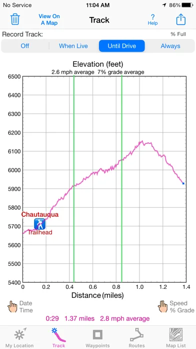
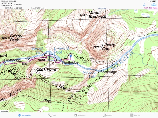
iHikeGPS combines downloaded classic topographic maps with track recording, waypoints and route navigation.
Consider for supplementary map planning and recorded hikes.
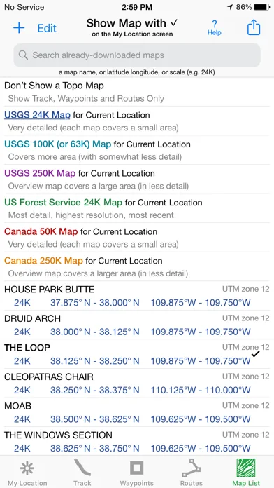
Explicit offline map lists and GPX, KML or TCX route imports help prepare material before losing connectivity.
Keep in mind: Map age, coverage, battery and GPS reception matter; it cannot guarantee safe navigation or current trail conditions.
Inside the app
Official product images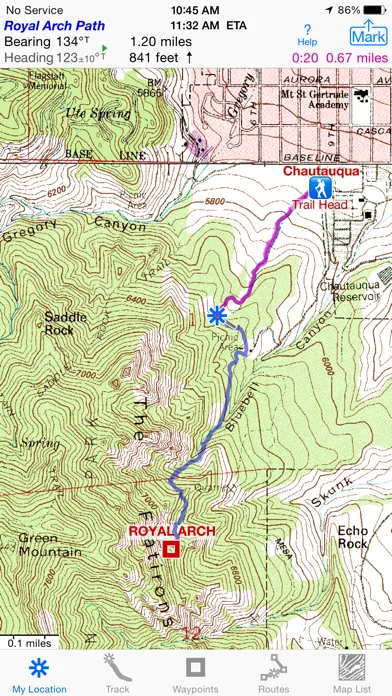
What you can do
- Download supported US and Canadian topo maps
- Record tracks and elevation profiles
- Create and edit routes
- Navigate with distance and bearing displays
- Share route and waypoint files
Good for
- Hikers who understand offline-map preparation and navigation limits
Consider alternatives for
- People expecting a guaranteed emergency rescue or live trail-condition service
Limitations & considerations
- Captured minimum: iOS 12.0.
- Map age, coverage, battery and GPS reception matter; it cannot guarantee safe navigation or current trail conditions.
Privacy & permissions
The developer states location and tracks are not sent to its servers; exported routes still reveal travel, and background GPS uses power.
Sources & review notes Updated Nov 11, 2026
Reviewed by iApp4Me Editorial Team. Recommendations use the linked documentation and attributed accounts; device observations are identified separately.
- US App Store developer description
Complete description, download price and compatibility metadata captured 2026-11-02.
No comments yet. Be the first to share your experience.