
Navigation
LandGlide: Parcel & Field Maps
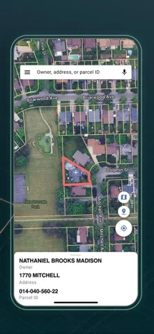
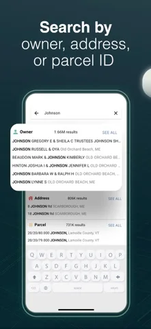
LandGlide maps US parcel records with owner or address search, saved notes, field photos and eligible offline downloads.
Consider for initial field research verified against official records
One account can organize property observations across supported areas.
Keep in mind: GPS overlays do not legally confirm a boundary and data can be outdated; use a licensed survey and official title or zoning records for binding decisions.
Inside the app
Official product images
What you can do
- Search parcels by owner, address or ID
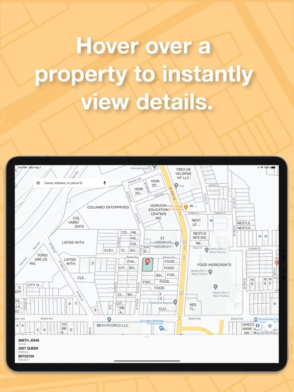
- View available property attributes
- Save field notes and download eligible offline maps
Good for
- Property researchers and professionals cross-checking parcel information
Consider alternatives for
- Users requiring a legal boundary survey or certified valuation
Limitations & considerations
- Captured minimum: iOS 17.0.
- GPS overlays do not legally confirm a boundary and data can be outdated; use a licensed survey and official title or zoning records for binding decisions.
Privacy & permissions
Owner searches, field photos and saved work sites may be sensitive; control export and team access.
Sources & review notes Updated Nov 10, 2026
Reviewed by iApp4Me Editorial Team. Recommendations use the linked documentation and attributed accounts; device observations are identified separately.
- US App Store developer description
Complete description, download price and compatibility metadata captured 2026-11-02.
No comments yet. Be the first to share your experience.