Navigation
Light Pollution Map
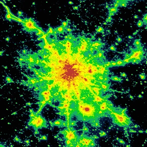
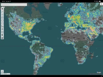
Light Pollution Map displays satellite radiance, modeled sky brightness and astronomy-related overlays for comparing observing locations.
Compare candidate dark-sky areas
Saved places and multiple map layers put historical light data alongside other observing context.
Keep in mind: World Atlas 2015 is explicitly dated and Bortle classes are estimates; cloud forecasts and user readings can differ from conditions on arrival.
Inside the app
Official product images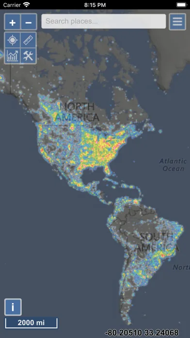
What you can do
- View VIIRS sky-brightness cloud and aurora layers
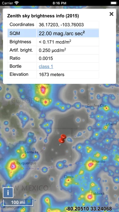
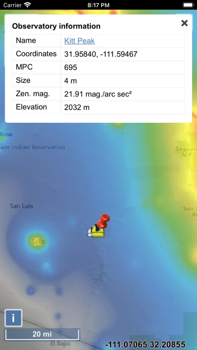
- Inspect radiance and contributed SQM readings
- Save favorite locations and selected offline maps
Good for
- Stargazers comparing places before checking current local conditions.
Consider alternatives for
- Users expecting a phone camera to make a calibrated sky-brightness measurement.
Limitations & considerations
- Captured minimum: iOS 15.0.
- World Atlas 2015 is explicitly dated and Bortle classes are estimates; cloud forecasts and user readings can differ from conditions on arrival.
Privacy & permissions
Saved places and submitted measurements can reveal observing locations; review visibility before contributing.
Sources & review notes Updated Nov 11, 2026
Reviewed by iApp4Me Editorial Team. Recommendations use the linked documentation and attributed accounts; device observations are identified separately.
- US App Store developer description
Complete description, download price and compatibility metadata captured 2026-11-02.
No comments yet. Be the first to share your experience.