Navigation
Live Earth Camera - GPS Map
Live Earth Camera GPS Map combines saved satellite imagery, street panoramas and third-party public webcams.
Choose it for visual browsing with a clear distinction between image types
A globe, maps and linked data layers can provide several ways to preview a place.
Keep in mind: Satellite and street images are not live surveillance; webcam availability and other data coverage depend on their providers.
Inside the app
Official product images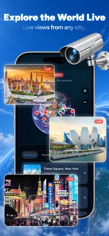
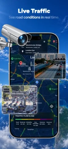
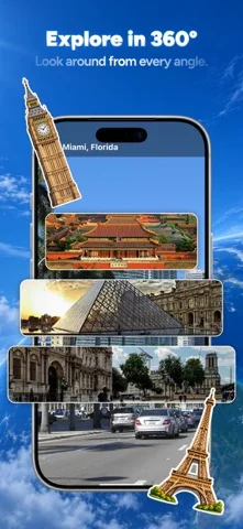
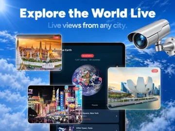
What you can do
- Globe satellite and street-level views
- Public webcam browsing
- Location compass and third-party travel-information layers
Good for
- People browsing destinations or terrain without assuming real-time imagery
Consider alternatives for
- Users expecting live views into a private address or verified security monitoring
Limitations & considerations
- Captured minimum: iOS 15.5.
- Satellite and street images are not live surveillance; webcam availability and other data coverage depend on their providers.
Privacy & permissions
Location searches reveal interests and movements; public cameras are operated externally and have separate conditions.
Sources & review notes Updated Nov 11, 2026
Reviewed by iApp4Me Editorial Team. Recommendations use the linked documentation and attributed accounts; device observations are identified separately.
- US App Store developer description
Complete description, download price and compatibility metadata captured 2026-11-02.
No comments yet. Be the first to share your experience.