Navigation
Live Satellite View & GPS Maps
Satellite View’s GPS Maps presentation browses satellite, terrain and hybrid layers with device location.
Consider only for general geographic browsing after checking imagery dates
Layer switching and zoom provide different views of a region.
Keep in mind: Live GPS does not mean live satellite photography. Provider, capture dates, historical coverage and offline-region limits are unspecified; not a survey, property boundary or safe-route authority.
Inside the app
Official product images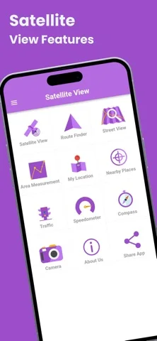
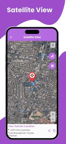
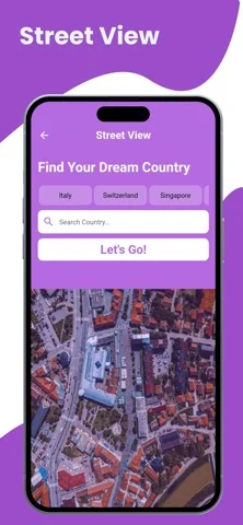
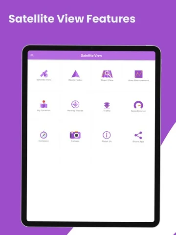
What you can do
- Browse supported map layers
- Zoom/select geographic areas
- Use permitted device-location display
Good for
- Users checking noncritical map references
Consider alternatives for
- Users expecting real-time overhead surveillance or authoritative property data
Limitations & considerations
- Captured minimum: iOS 12.0.
- Live GPS does not mean live satellite photography. Provider, capture dates, historical coverage and offline-region limits are unspecified; not a survey, property boundary or safe-route authority.
Privacy & permissions
Location and downloaded regions can reveal routines; minimize permissions and avoid sensitive shared map screenshots.
Sources & review notes Updated Nov 11, 2026
Reviewed by iApp4Me Editorial Team. Recommendations use the linked documentation and attributed accounts; device observations are identified separately.
- US App Store developer description
Complete description, download price and compatibility metadata captured 2026-11-02.
No comments yet. Be the first to share your experience.