Navigation
Live Satellite View & Maps
Live Satellite View & Maps combines mapped-place browsing, route search and location-sharing tools.
Inspect a place or route as a starting point
Nearby-place categories and distance tools bring several map-related tasks together.
Keep in mind: The name does not establish real-time satellite imagery; imagery age, traffic freshness and route correctness are unverified and need independent checking.
Inside the app
Official product images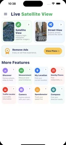

What you can do
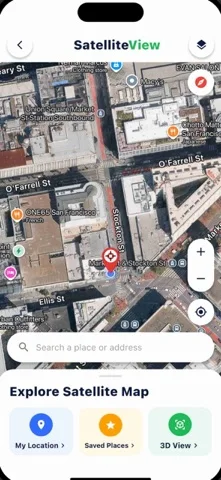
- Search described satellite or street-style views
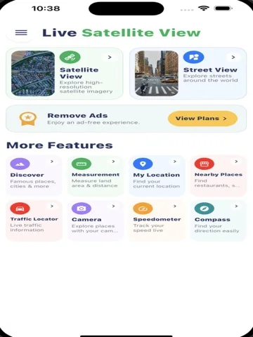
- Find routes and nearby categories
- Display or share location and compare distances
Good for
- Users comparing places before consulting a trusted navigation source.
Consider alternatives for
- Users expecting a live view of any person or guaranteed real-time conditions.
Limitations & considerations
- Captured minimum: iOS 15.
- The name does not establish real-time satellite imagery; imagery age, traffic freshness and route correctness are unverified and need independent checking.
Privacy & permissions
GPS, voice search and shared locations can expose movements; use precise-location sharing deliberately.
Sources & review notes Updated Nov 11, 2026
Reviewed by iApp4Me Editorial Team. Recommendations use the linked documentation and attributed accounts; device observations are identified separately.
- US App Store developer description
Complete description, download price and compatibility metadata captured 2026-11-02.
No comments yet. Be the first to share your experience.