Navigation
MAPAS: Live Street View & GPS
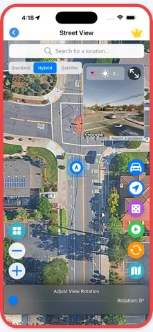
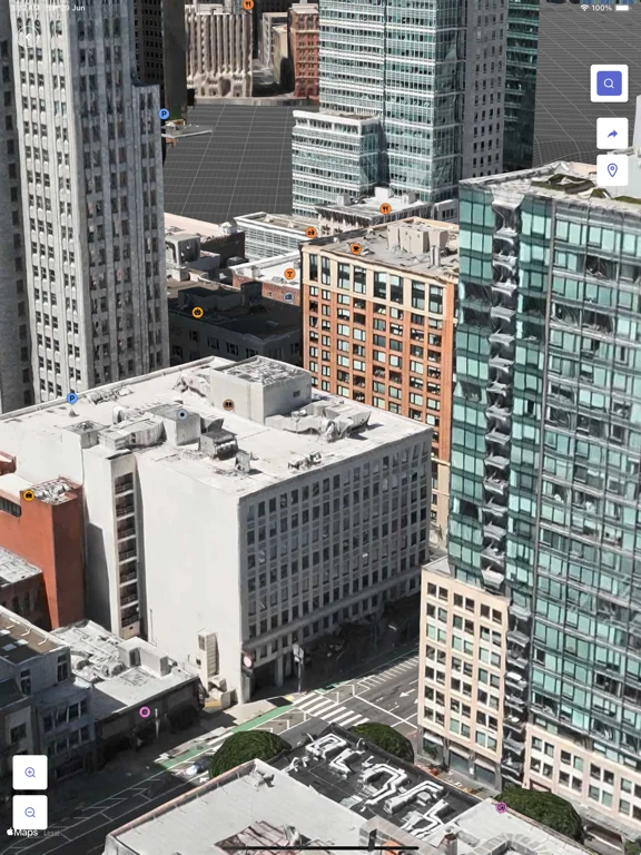
MAPAS explores street panoramas, available camera feeds and 3D maps with location tools.
Consider for virtual sightseeing and basic location reference
Favorites connect repeatedly viewed places and cameras.
Keep in mind: Street/satellite images are not live; camera freshness, coverage and tool accuracy vary. Not a guaranteed emergency navigation instrument.
Inside the app
Official product images

What you can do
- Search eligible street-level locations
- View available camera/3D imagery
- Use supported compass or nearby-place tools
Good for
- Users checking imagery dates and source coverage
Consider alternatives for
- Users assuming every scene is real-time
Limitations & considerations
- Captured minimum: iOS 16.0.
- Street/satellite images are not live; camera freshness, coverage and tool accuracy vary. Not a guaranteed emergency navigation instrument.
Privacy & permissions
Location tools reveal precise whereabouts; enable location only for functions that need it.
Sources & review notes Updated Nov 11, 2026
Reviewed by iApp4Me Editorial Team. Recommendations use the linked documentation and attributed accounts; device observations are identified separately.
- US App Store developer description
Complete description, download price and compatibility metadata captured 2026-11-02.
No comments yet. Be the first to share your experience.