
Navigation
MapOut
MapOut provides downloadable OpenStreetMap-based maps with drawn routes, recorded tours and elevation profiles.
Pick it for preparing a map area before walking or cycling offline
Offline search and route drawing are useful when connectivity is limited and a saved tour needs adjustment.
Keep in mind: Downloaded map details can be incomplete or outdated; it does not guarantee that a drawn route is accessible or safe.
Inside the app
Official product images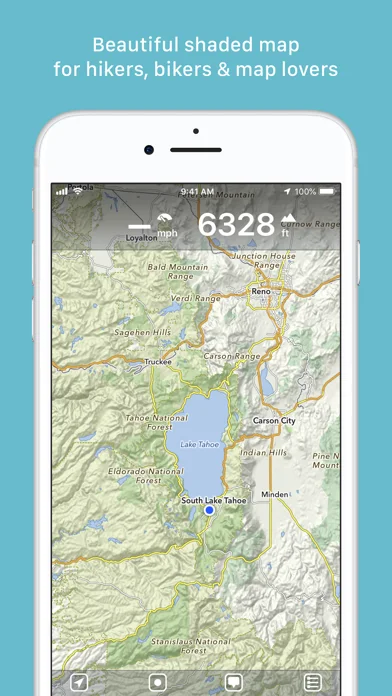
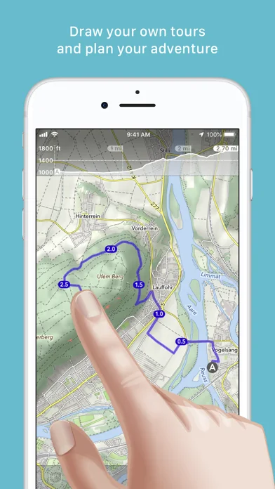
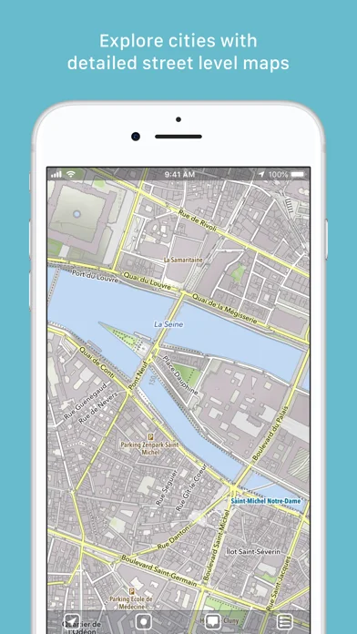
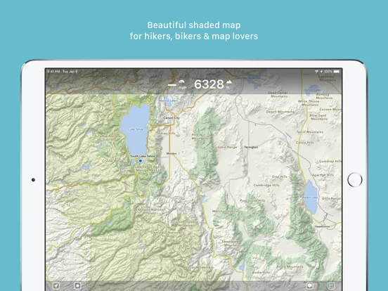
What you can do
- Offline maps search and terrain shading
- Route drawing waypoints and elevation profiles
- Tour recording and supported GPX or KML imports
Good for
- Hikers cyclists and travelers comfortable checking routes independently
Consider alternatives for
- Users expecting guaranteed live closures or emergency navigation
Limitations & considerations
- Captured minimum: iOS 13.
- Downloaded map details can be incomplete or outdated; it does not guarantee that a drawn route is accessible or safe.
Privacy & permissions
Recorded tracks reveal movements; optional MapOut.me transfers, email and shared tours leave the local device.
Sources & review notes Updated Nov 11, 2026
Reviewed by iApp4Me Editorial Team. Recommendations use the linked documentation and attributed accounts; device observations are identified separately.
- US App Store developer description
Complete description, download price and compatibility metadata captured 2026-11-02.
No comments yet. Be the first to share your experience.