MapTap
Compare several cartographic layers in one digital map browser.
Useful for looking at the same area through different map sources
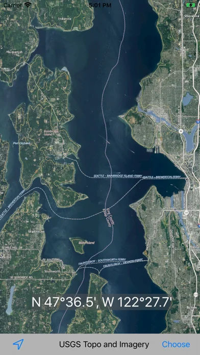
Apple map views, USGS terrain imagery and other listed layers offer complementary context.
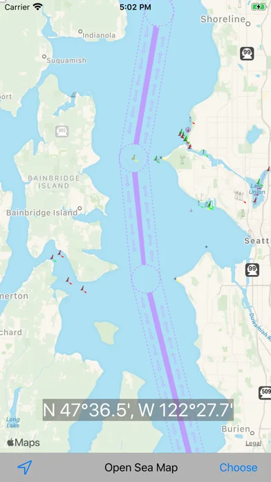
Keep in mind: Source availability and coverage can change; raster nautical charts here do not establish a current, certified marine-navigation system.
Inside the app
Official product images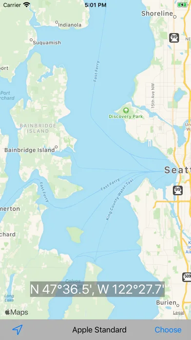
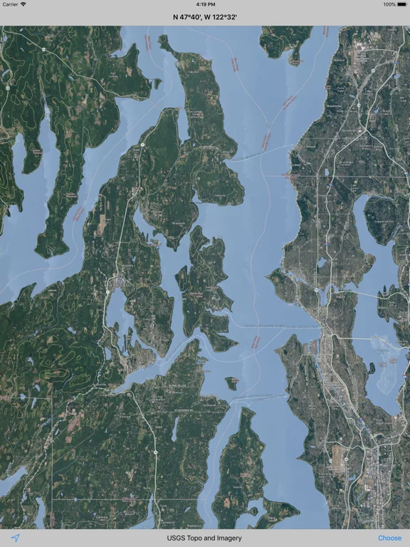
What you can do
- Apple standard/satellite/hybrid maps
- USGS topographic maps and orthophotos
- NOAA raster chart and OpenStreetMap views
Good for
- People comparing geographic representations
Consider alternatives for
- Certified navigation or guaranteed current chart coverage
Limitations & considerations
- Captured minimum: iOS 17.0.
- Source availability and coverage can change; raster nautical charts here do not establish a current, certified marine-navigation system.
Privacy & permissions
The publisher's cached policy says apps use anonymous TelemetryDeck usage/bug analytics and do not track individuals; map-service requests still merit review.
Privacy policySources & review notes Updated Nov 12, 2026
Reviewed by iApp4Me Editorial Team. Recommendations use the linked documentation and attributed accounts; device observations are identified separately.
- US App Store developer description
Complete description, download price and compatibility metadata captured 2026-11-02.
- Publisher privacy disclosure
Cached disclosure captured and read 2026-11-12: anonymous TelemetryDeck usage/bug analytics; do not track individuals.
No comments yet. Be the first to share your experience.