Marine Navigation-USA Lake Map
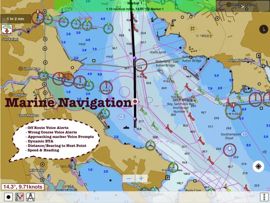
Marine Navigation USA Lake Map combines offline marine or lake charts with routes, waypoints and track recording.
Consider it as supplementary planning on a GPS-capable device with checked regional chart coverage
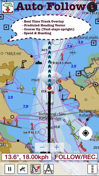
GPX or KML route handling and overlaid tracks keep a planned path beside recorded movement.
Keep in mind: Chart dates, depths and predictions need independent checking; route prompts do not establish safe passage or replace official navigation information.
Inside the app
Official product images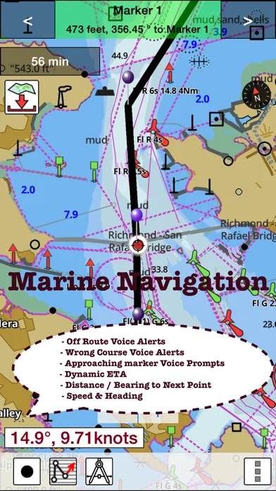
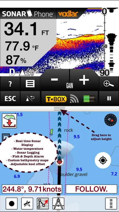
What you can do
- Regional offline chart downloads
- Waypoint route creation and interchange
- Track recording and tide or current predictions
Good for
- Boaters who already understand chart limitations and local conditions
Consider alternatives for
- Users expecting certified navigation or every worldwide region included
Limitations & considerations
- Captured minimum: iOS 12.0.
- Chart dates, depths and predictions need independent checking; route prompts do not establish safe passage or replace official navigation information.
Privacy & permissions
Routes and exported tracks reveal movements; background GPS can consume battery and optional cloud functions have separate handling.
Sources & review notes Updated Nov 11, 2026
Reviewed by iApp4Me Editorial Team. Recommendations use the linked documentation and attributed accounts; device observations are identified separately.
- US App Store developer description
Complete description, download price and compatibility metadata captured 2026-11-02.
- i-Boating official product overview
Cached official source describes chart regions, offline data, routes and optional services across platforms; platform sale prices are not treated as this iOS edition price.
No comments yet. Be the first to share your experience.