
Travel
MarineTraffic - Ship Tracking
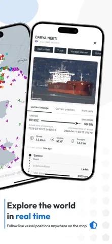
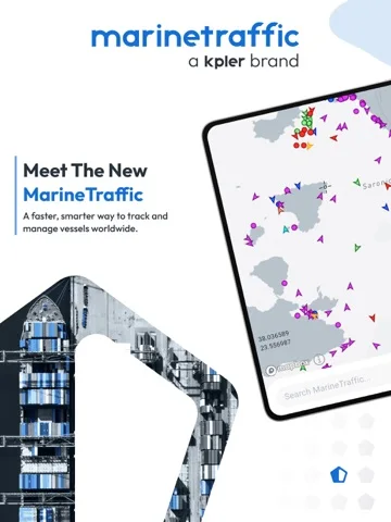
MarineTraffic maps vessel AIS positions, details, voyage history and selected fleets, with expanded satellite or historical access through Pro.
Consider for maritime situational research with coverage limitations understood
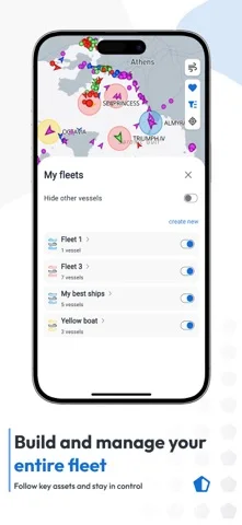
Following chosen ships can narrow a busy global map.
Keep in mind: AIS positions can be delayed, missing or incorrect; standard coastal reception differs from paid satellite coverage, and the app is not a primary collision-avoidance or navigation instrument.
Inside the app
Official product images
What you can do
- Track available AIS vessel positions
- Review voyage details and selected fleets
- Use eligible weather or Pro satellite layers
Good for
- Maritime researchers, enthusiasts or professionals cross-checking traffic data
Consider alternatives for
- Users requiring guaranteed live location for every ship
Limitations & considerations
- Captured minimum: iOS 15.6.
- AIS positions can be delayed, missing or incorrect; standard coastal reception differs from paid satellite coverage, and the app is not a primary collision-avoidance or navigation instrument.
Privacy & permissions
Saved fleets and account activity can reveal commercial interests; review sharing and exported data permissions.
Sources & review notes Updated Nov 10, 2026
Reviewed by iApp4Me Editorial Team. Recommendations use the linked documentation and attributed accounts; device observations are identified separately.
- US App Store developer description
Complete description, download price and compatibility metadata captured 2026-11-02.
No comments yet. Be the first to share your experience.