
Navigation
Matchy Maps
Photograph a paper map, align it digitally and show the phone's location on it.
Useful for informal park-map overlays
Image/PDF import and map export help reuse existing references.
Keep in mind: Alignment and GPS can be wrong; carry an independent backup in unfamiliar or hazardous places.
Inside the app
Official product images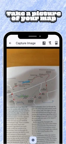
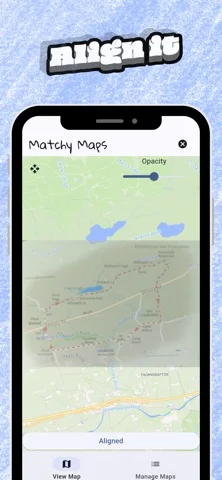
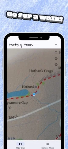
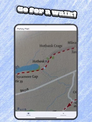
What you can do
- Photo-map alignment
- Location overlay
- Aligned-map sharing and archive export
Good for
- Walkers using clear local map boards
Consider alternatives for
- Survey accuracy or sole-source wilderness navigation
Limitations & considerations
- Captured minimum: iOS 15.6.
- Alignment and GPS can be wrong; carry an independent backup in unfamiliar or hazardous places.
Privacy & permissions
Developer says no data sharing or ads; exported maps can still reveal routes and locations.
Sources & review notes Updated Nov 11, 2026
Reviewed by iApp4Me Editorial Team. Recommendations use the linked documentation and attributed accounts; device observations are identified separately.
- US App Store developer description
Complete description, download price and compatibility metadata captured 2026-11-02.
No comments yet. Be the first to share your experience.