MilGPS+
Prepare cached maps, waypoints and recorded tracks for offline field-map reference.
Useful for users validating their map data before a trip
Coordinate formats and geospatial imports can combine existing route information.
Keep in mind: Military-grade/exact/100% offline claims are unverified; GPS, compass, cached coverage and format support need testing. Keep independent maps and emergency arrangements.
Inside the app
Official product images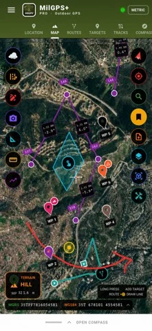
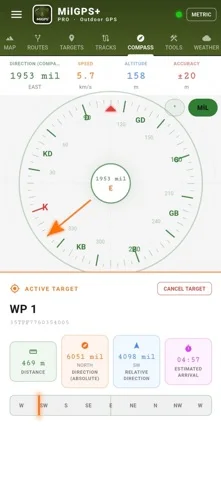
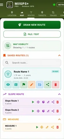
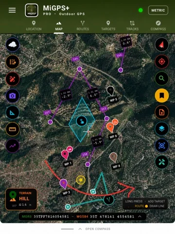
What you can do
- WGS84/UTM coordinates and waypoint folders
- Offline map regions, track/route recording
- GPX/KML/GeoJSON and listed raster/GIS imports with PDF sharing
Good for
- Experienced map users testing non-critical routes
Consider alternatives for
- Certified surveying or sole emergency navigation
Limitations & considerations
- Captured minimum: iOS 13.0.
- Military-grade/exact/100% offline claims are unverified; GPS, compass, cached coverage and format support need testing. Keep independent maps and emergency arrangements.
Privacy & permissions
Publisher states location stays on-device; exported tracks/maps disclose positions and shared files leave that boundary. Protect device and sharing choices.
Sources & review notes Updated Nov 15, 2026
Reviewed by iApp4Me Editorial Team. Recommendations use the linked documentation and attributed accounts; device observations are identified separately.
- US App Store developer description
Complete description, release notes, download price and compatibility metadata captured 2026-11-02.
No comments yet. Be the first to share your experience.