Navigation
NZ Topo50 South Island
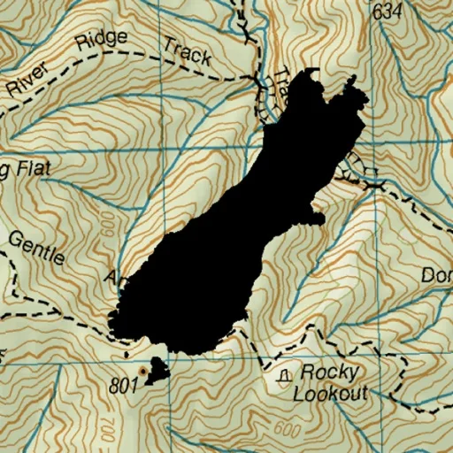
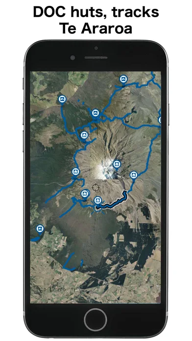
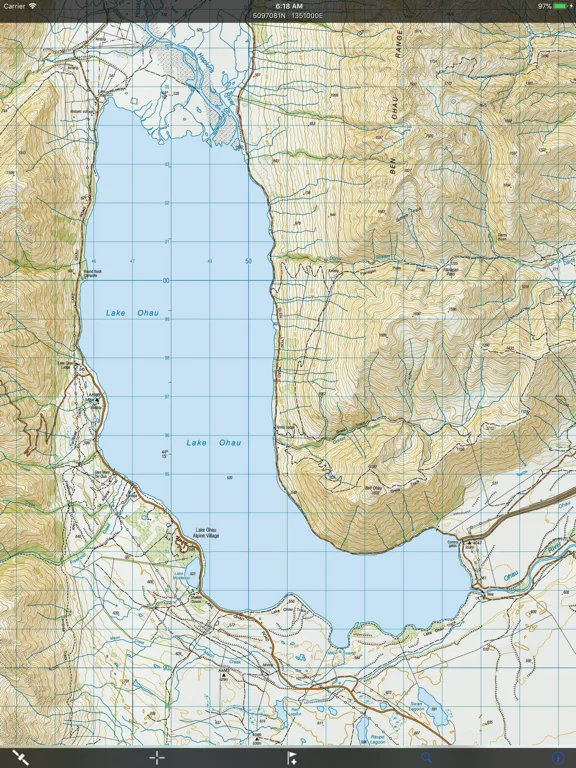
Offline LINZ topographic maps for New Zealand's South Island with routes and track recording.
Strong fit for carrying regional map coverage
Base maps install with the app rather than requiring trail-by-trail caching.
Keep in mind: Live sharing and weather need connectivity; GPS logging consumes battery and maps require judgement outdoors.
Inside the app
Official product images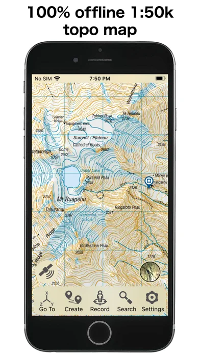
What you can do
- Installed Topo50 maps
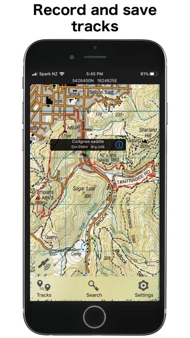
- GPX/KML route exchange
- Track recording and elevation profiles
Good for
- South Island walkers carrying backup navigation
Consider alternatives for
- Those needing worldwide coverage
Limitations & considerations
- Captured minimum: iOS 16.6.
- Live sharing and weather need connectivity; GPS logging consumes battery and maps require judgement outdoors.
Privacy & permissions
Location tracks and live sharing reveal movements; choose recording and sharing deliberately.
Sources & review notes Updated Nov 11, 2026
Reviewed by iApp4Me Editorial Team. Recommendations use the linked documentation and attributed accounts; device observations are identified separately.
- US App Store developer description
Complete description, download price and compatibility metadata captured 2026-11-02.
No comments yet. Be the first to share your experience.