Travel
Peak Panorama
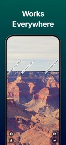
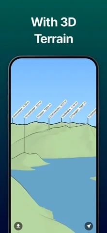
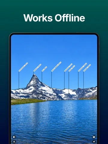
Label mountain peaks in a panoramic view or camera overlay.
Useful for casual peak identification with an independently checked map
Saved areas make the reference useful beyond mobile coverage.
Keep in mind: Names/heights and sensor alignment can be wrong; download the area first and do not use labels as the sole navigation or terrain-safety reference.
Inside the app
Official product images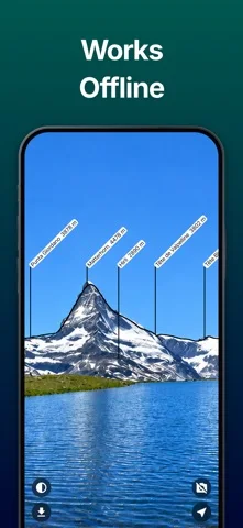
What you can do
- Three-hundred-sixty-degree peak panorama
- Camera name/height overlay
- Saved-area offline access
Good for
- Hikers identifying scenery from a safe location
Consider alternatives for
- Certified surveying or a complete trail-navigation system
Limitations & considerations
- Captured minimum: iOS 15.4.
- Names/heights and sensor alignment can be wrong; download the area first and do not use labels as the sole navigation or terrain-safety reference.
Privacy & permissions
Camera/location access reveals surroundings and vantage points; review stored areas and any shared screenshots before posting.
Sources & review notes Updated Nov 12, 2026
Reviewed by iApp4Me Editorial Team. Recommendations use the linked documentation and attributed accounts; device observations are identified separately.
- US App Store developer description
Complete description, download price and compatibility metadata captured 2026-11-02.
No comments yet. Be the first to share your experience.