
Travel
PeakFinder
PeakFinder labels mountain panoramas using viewpoint data, offline terrain and camera overlays.
Consider for supplementary landscape identification
A rendered horizon can help match visible peaks.
Keep in mind: GPS, compass and terrain errors can misidentify features; it is not a sole navigation or mountain-safety tool.
Inside the app
Official product images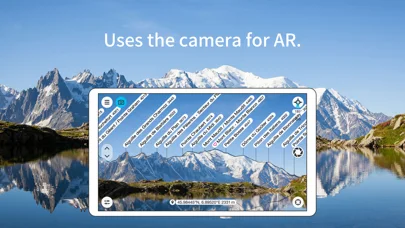
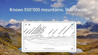
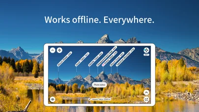
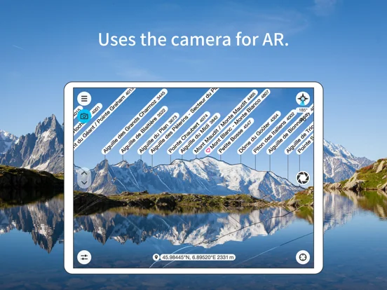
What you can do
- View supported 360-degree peak panoramas
- Choose viewpoints or inspect less-visible peaks
- Mark locations and view eligible sun/moon paths
Good for
- Walkers identifying surrounding mountains
Consider alternatives for
- Users relying on one phone for route safety
Limitations & considerations
- Captured minimum: iOS 15.0.
- GPS, compass and terrain errors can misidentify features; it is not a sole navigation or mountain-safety tool.
Privacy & permissions
Viewpoints and marked places reveal travel interests; review location and sharing.
Sources & review notes Updated Nov 10, 2026
Reviewed by iApp4Me Editorial Team. Recommendations use the linked documentation and attributed accounts; device observations are identified separately.
- US App Store developer description
Complete description, download price and compatibility metadata captured 2026-11-02.
No comments yet. Be the first to share your experience.