
Travel
Photos Heatmap
Map geotagged photos as a heatmap on a globe or map.
Someone exploring location metadata in their own photo library.
Map geotagged photos as a heatmap on a globe or map.
Keep in mind: Map coverage, library handling and location accuracy were not tested; embedded tags can be missing or wrong.
Inside the app
Official product images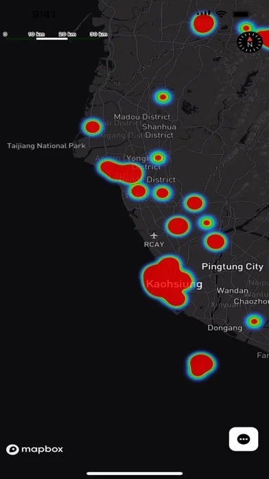
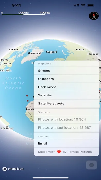
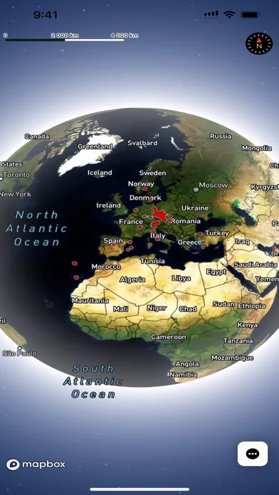
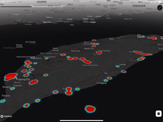
What you can do
- View concentrations of photo locations.
- Choose the described map styles.
- Count photos with and without location data.
Good for
- Someone exploring location metadata in their own photo library.
Consider alternatives for
- Recovering missing GPS coordinates or verified travel history.
Limitations & considerations
- Map coverage, library handling and location accuracy were not tested; embedded tags can be missing or wrong.
Privacy & permissions
Photos and GPS history are sensitive. Limit library access and consider what the map exposes in screenshots.
Sources & review notes Updated Nov 19, 2026
Reviewed by iApp4Me Editorial Team. Recommendations use the linked documentation and attributed accounts; device observations are identified separately.
- US App Store listing
Full publisher description, version and US download price captured 2026-11-02; source-based coverage, not a device test.
No comments yet. Be the first to share your experience.