
Productivity
Planimeter — Measure Land Area
Planimeter estimates map distances, perimeters and land areas from visible features.
Consider for preliminary outdoor project estimates
Paths, circular areas and unit choices support different measurements.
Keep in mind: Map image age, resolution and point placement limit accuracy; this does not establish legal boundaries or replace a qualified survey.
Inside the app
Official product images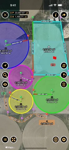
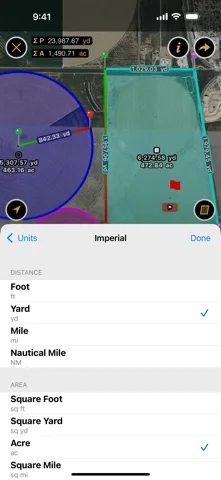
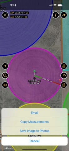
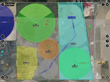
What you can do
- Outline eligible areas on a map
- Measure distances or perimeters
- Add markers and choose imperial/metric units
Good for
- Users making rough landscaping or project comparisons
Consider alternatives for
- Users needing certified property boundaries or construction-grade dimensions
Limitations & considerations
- Captured minimum: iOS 17.0.
- Map image age, resolution and point placement limit accuracy; this does not establish legal boundaries or replace a qualified survey.
Privacy & permissions
Saved property outlines and coordinates can identify private sites; inspect map-provider requests and sharing destinations.
Sources & review notes Updated Nov 11, 2026
Reviewed by iApp4Me Editorial Team. Recommendations use the linked documentation and attributed accounts; device observations are identified separately.
- US App Store developer description
Complete description, download price and compatibility metadata captured 2026-11-02.
No comments yet. Be the first to share your experience.