Navigation
Range Finder Tool
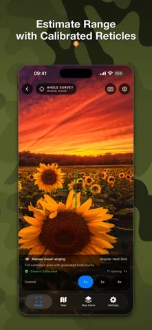
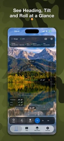
Range Finder Tool combines camera-based estimates, waypoint records and offline-capable maps.
Pick it for informal field documentation within device limits
Map shapes, annotated observations and on-device astronomy calculations gather several reference tools in one place.
Keep in mind: The developer says measurements are estimates and not for safety-critical surveying or navigation; lidar needs supported hardware.
Inside the app
Official product images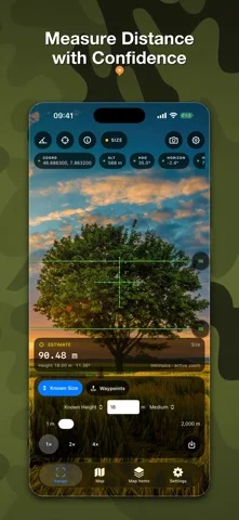
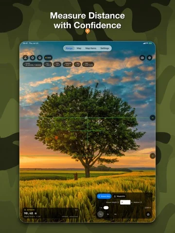
What you can do
- Camera range and angle estimates
- Waypoints notes photos and voice attachments
- Map measurements offline areas and light planning
Good for
- Outdoor users recording observations and rough planning information
Consider alternatives for
- People requiring certified boundaries or guaranteed navigation precision
Limitations & considerations
- Captured minimum: iOS 26.0.
- The developer says measurements are estimates and not for safety-critical surveying or navigation; lidar needs supported hardware.
Privacy & permissions
Photos, voice notes and exact waypoints can reveal sensitive locations; the listing states camera and photo-location analysis is on-device.
Sources & review notes Updated Nov 11, 2026
Reviewed by iApp4Me Editorial Team. Recommendations use the linked documentation and attributed accounts; device observations are identified separately.
- US App Store developer description
Complete description, download price and compatibility metadata captured 2026-11-02.
No comments yet. Be the first to share your experience.