Navigation
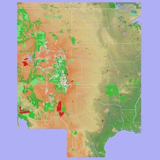
Scenic Map Central USA
Explore Central US terrain and manage GPS tracks with optional online maps.
Useful for supplementary topographic reference and route review
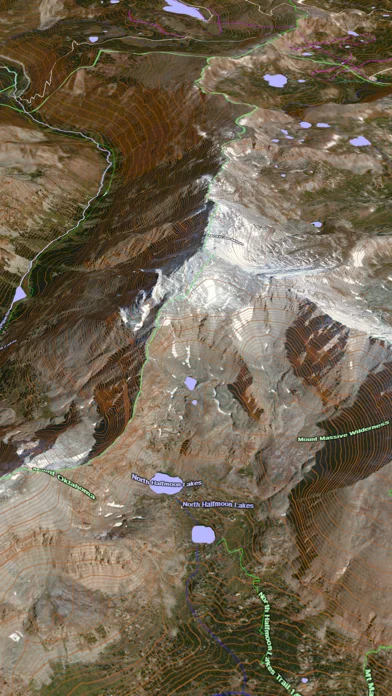
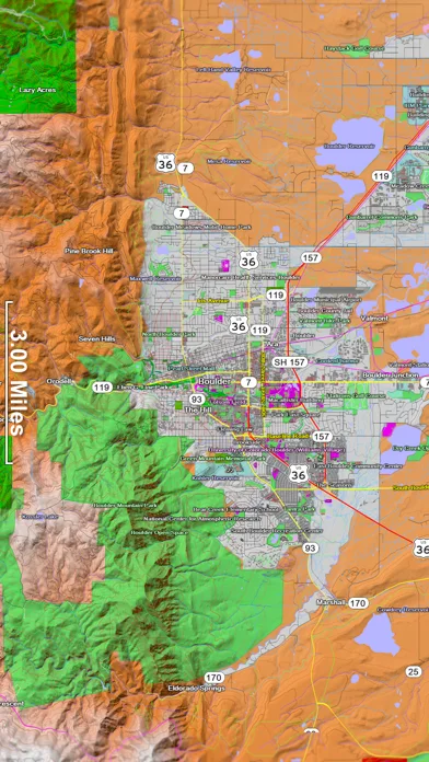
3D terrain views, configurable layers and GPX exchange connect mapping with recorded outings.
Keep in mind: Download needed areas before going offline; map details and routed paths can be incomplete, and background GPS uses battery.
Inside the app
Official product images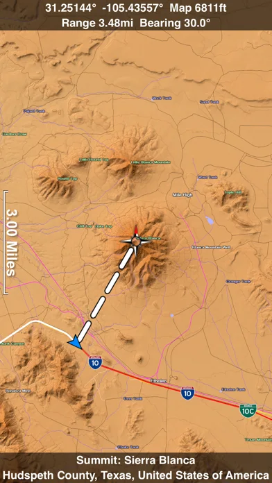
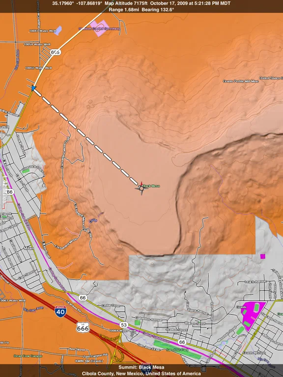
What you can do
- 3D/2D terrain and map layers
- GPS track recording and replay
- Waypoints, GPX exchange and optional online routing
Good for
- People reviewing terrain and personal tracks
Consider alternatives for
- Sole safety navigation or certified current charts
Limitations & considerations
- Captured minimum: iOS 16.1.
- Download needed areas before going offline; map details and routed paths can be incomplete, and background GPS uses battery.
Privacy & permissions
Background tracks and shared GPX files reveal travel history; choose recording, cloud and sharing destinations carefully.
Sources & review notes Updated Nov 12, 2026
Reviewed by iApp4Me Editorial Team. Recommendations use the linked documentation and attributed accounts; device observations are identified separately.
- US App Store developer description
Complete description, download price and compatibility metadata captured 2026-11-02.
No comments yet. Be the first to share your experience.