Navigation
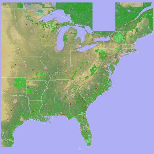
Scenic Map Eastern USA
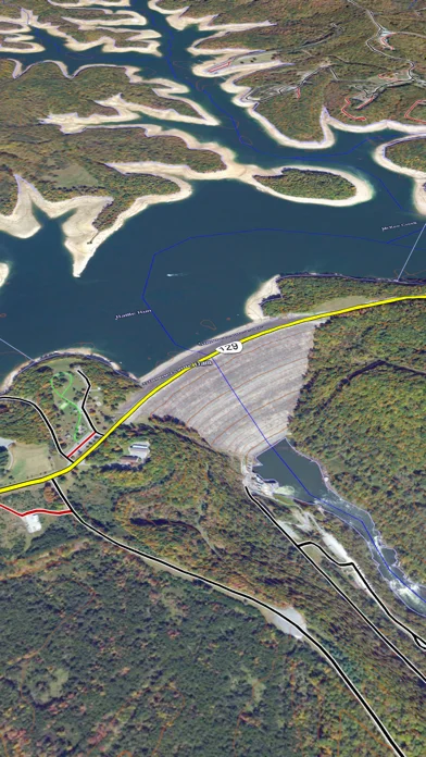
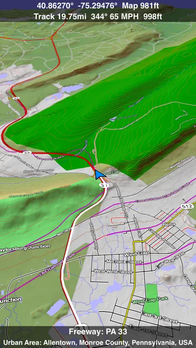
A customizable 3D topographic map with tracks and optional online world coverage.
Useful for recreational terrain exploration
GPX exchange and track replay connect planning with previous outings.
Keep in mind: Download/caching is needed before offline use; mapped paths and GPS do not guarantee safe access.
Inside the app
Official product images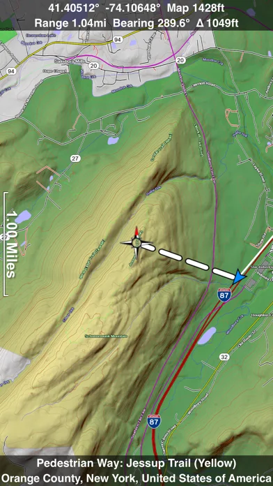
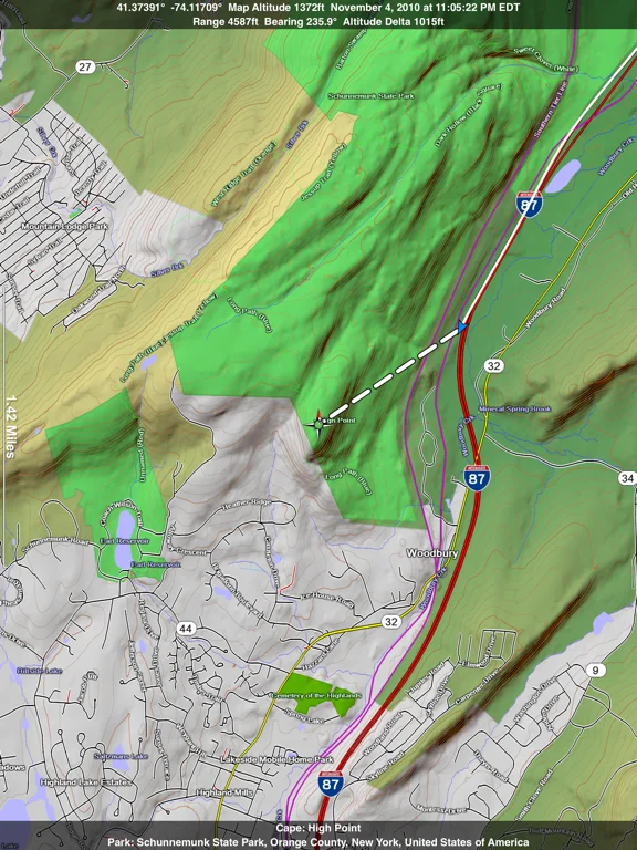
What you can do
- 3D terrain and styles
- Track recording/replay
- GPX exchange and cached online maps
Good for
- Outdoor users carrying backup maps
Consider alternatives for
- Certified aviation, marine or boundary navigation
Limitations & considerations
- Captured minimum: iOS 16.1.
- Download/caching is needed before offline use; mapped paths and GPS do not guarantee safe access.
Privacy & permissions
Background tracks reveal movements and use battery; review exported locations and photo information.
Sources & review notes Updated Nov 11, 2026
Reviewed by iApp4Me Editorial Team. Recommendations use the linked documentation and attributed accounts; device observations are identified separately.
- US App Store developer description
Complete description, download price and compatibility metadata captured 2026-11-02.
No comments yet. Be the first to share your experience.