
Navigation
Spartan Forge: Hunt
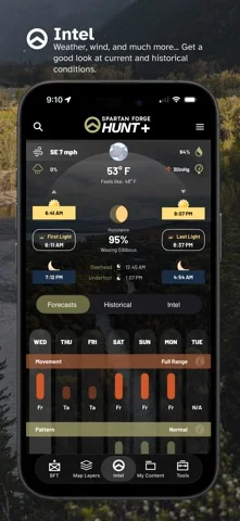
Spartan Forge combines map layers, land data, weather, and tools for planning outdoor trips and hunts.
Consider it if you want to annotate terrain and keep a plan available on a supported offline map.
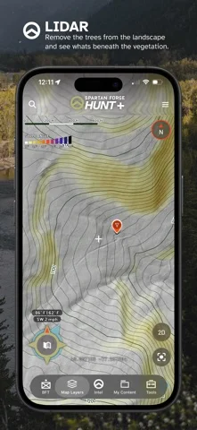
The paid tools combine LiDAR, historical imagery, and hand-drawn routes or notes on a map.
Keep in mind: Coverage and model predictions vary. Confirm access boundaries and rules independently; some tools are web-only.
Inside the app
Official product images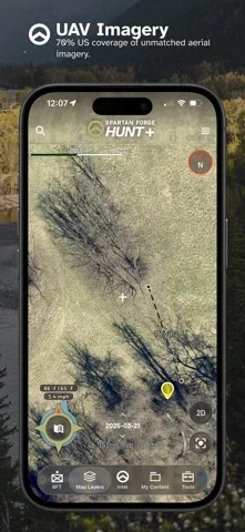
What you can do
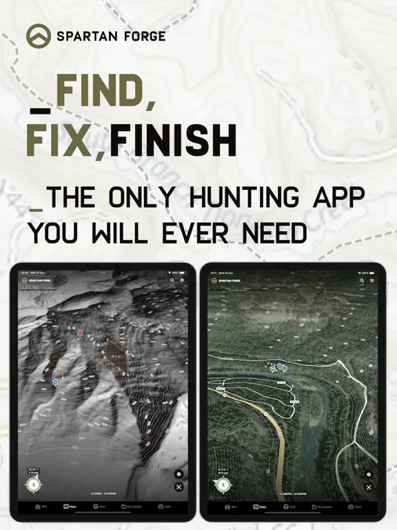
- Compare imagery, terrain, and property overlays
- Draw routes or mark points in BattleMap
- Download supported map layers or share pins
Good for
- People planning hunts who want maps and notes together
Consider alternatives for
- Anyone needing official boundaries or guaranteed wildlife forecasts
Limitations & considerations
- Captured minimum: iOS 16.6.
- Coverage and model predictions vary. Confirm access boundaries and rules independently; some tools are web-only.
Privacy & permissions
Pins and plans can sync; some settings share pin locations with partners automatically.
Sources & review notes Updated Nov 11, 2026
Reviewed by iApp4Me Editorial Team. Recommendations use the linked documentation and attributed accounts; device observations are identified separately.
- US App Store developer description
Complete description, download price and compatibility metadata captured 2026-11-02.
No comments yet. Be the first to share your experience.