
News
TAS Fires
Read Tasmanian fire reports with searchable lists, maps and wind context.
Useful for cross-checking official public incident information
Nearby sorting and selected coordinate sharing make a reported incident easier to inspect.
Keep in mind: No data is cached and feeds can change quickly; this is not a sole warning, safe-route or evacuation service.
Inside the app
Official product images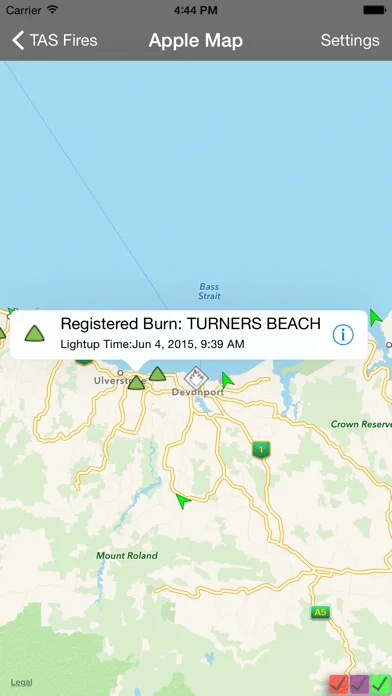
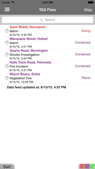
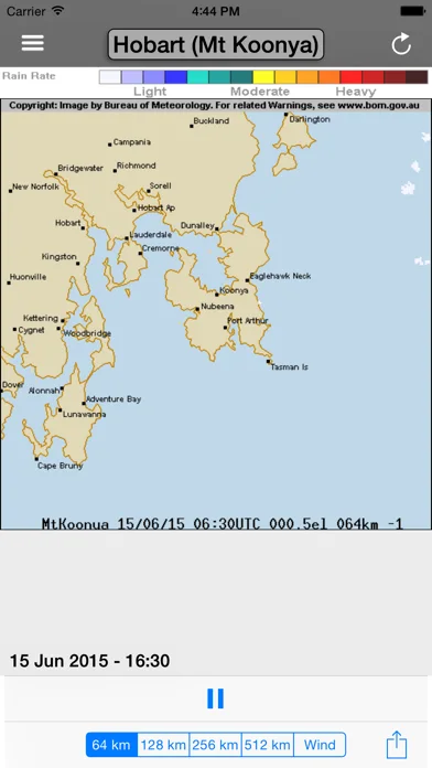
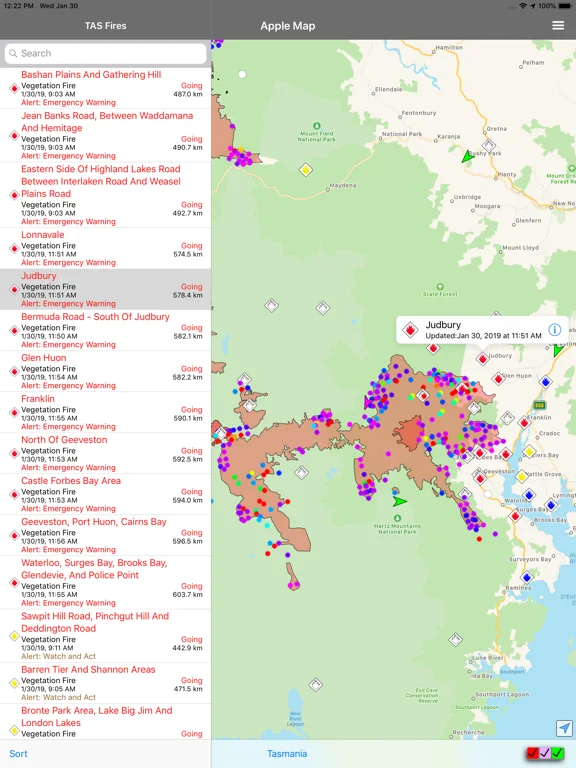
What you can do
- Searchable/sortable fire list
- Map and weather/location context
- Selected sharing and ForeFlight handoff
Good for
- People consulting several official public sources
Consider alternatives for
- Guaranteed offline fire coverage or emergency dispatch
Limitations & considerations
- Captured minimum: iOS 13.0.
- No data is cached and feeds can change quickly; this is not a sole warning, safe-route or evacuation service.
Privacy & permissions
GPS and shared coordinates can reveal the user's area/interest; review recipients and precision before sending.
Sources & review notes Updated Nov 12, 2026
Reviewed by iApp4Me Editorial Team. Recommendations use the linked documentation and attributed accounts; device observations are identified separately.
- US App Store developer description
Complete description, download price and compatibility metadata captured 2026-11-02.
No comments yet. Be the first to share your experience.