TerraCam: GPS Satellite
TerraCam GPS tags photos with location/time details and offers maps, cameras and travel references.
Consider for optional geotagged photo records
Photo stamps and place views bring capture and exploration into one interface.
Keep in mind: Compass, traffic, live-camera and air-quality accuracy/coverage are not independently verified; an unrelated closing sentence in the source does not establish health features. Use authoritative navigation when needed.
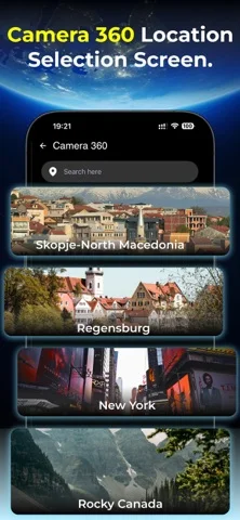
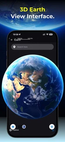
Inside the app
Official product images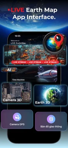
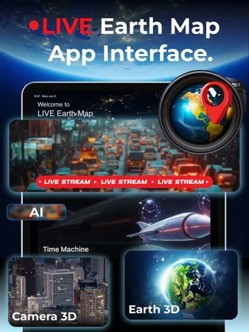
What you can do
- Capture photos with chosen GPS stamps
- Explore available map, panorama or public-camera views
- Check supported travel reference widgets
Good for
- Users organizing photos by place
Consider alternatives for
- Users needing guaranteed real-time navigation or environmental measurements
Limitations & considerations
- Captured minimum: iOS 16.0.
- Compass, traffic, live-camera and air-quality accuracy/coverage are not independently verified; an unrelated closing sentence in the source does not establish health features. Use authoritative navigation when needed.
Privacy & permissions
Coordinates and timestamps can expose homes and routines; limit location/photo access and remove stamps before public sharing when appropriate.
Sources & review notes Updated Nov 11, 2026
Reviewed by iApp4Me Editorial Team. Recommendations use the linked documentation and attributed accounts; device observations are identified separately.
- US App Store developer description
Complete description, download price and compatibility metadata captured 2026-11-02.
No comments yet. Be the first to share your experience.