
Photo & Video
The Photographer's Ephemeris
The Photographer's Ephemeris plans sun, moon and Milky Way alignments on maps.
Consider for advance outdoor photo planning
Line-of-sight tools and saved sites connect celestial geometry to viewpoints.
Keep in mind: Maps/elevation need network except stored tiles; topo coverage60N–47S and third-party maps can change. Color forecasts are predictions, not guaranteed light/weather.
Inside the app
Official product images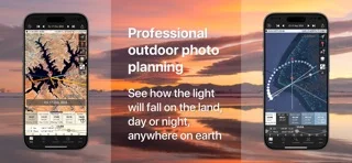
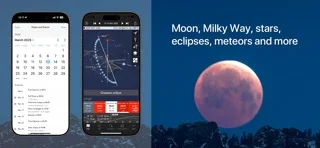
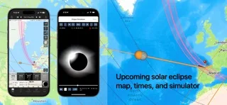
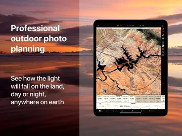
What you can do
- Inspect rise/set directions and shadows
- Search celestial alignments
- Save/import sites and use eligible AR/offline maps
Good for
- Photographers checking planned viewpoints
Consider alternatives for
- Users needing guaranteed weather, navigation or unrestricted offline elevation
Limitations & considerations
- Captured minimum: iOS 17.6.
- Maps/elevation need network except stored tiles; topo coverage60N–47S and third-party maps can change. Color forecasts are predictions, not guaranteed light/weather.
Privacy & permissions
Saved sites, GPS, KML and synced plans reveal locations; limit shared access and camera permissions.
Sources & review notes Updated Nov 11, 2026
Reviewed by iApp4Me Editorial Team. Recommendations use the linked documentation and attributed accounts; device observations are identified separately.
- US App Store developer description
Complete description, download price and compatibility metadata captured 2026-11-02.
No comments yet. Be the first to share your experience.