Navigation
Topo Maps
Topo Maps displays downloaded scans of traditional USGS and Canadian topographical sheets on iPhone.
Pick it for a prepared offline map library in the covered regions
Waypoints, name searches and coordinate displays add useful references to the scanned-map presentation.
Keep in mind: These are traditional map scans rather than guaranteed current trails or closures, and a separate iPad app is named.
Inside the app
Official product images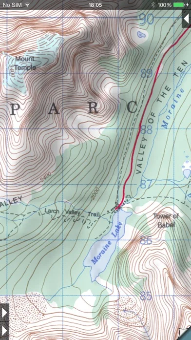
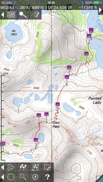
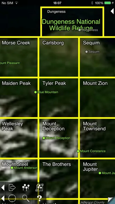
What you can do
- Downloaded offline topo sheets
- Waypoint import and export
- Coordinate distance bearing and hill-shading tools
Good for
- Map readers comfortable checking dates and terrain independently
Consider alternatives for
- Users requiring live route restrictions or the separate iPad edition
Limitations & considerations
- Captured minimum: iOS 13.0.
- These are traditional map scans rather than guaranteed current trails or closures, and a separate iPad app is named.
Privacy & permissions
Waypoints and current-location access reveal travel plans; exported files can disclose them to recipients.
Sources & review notes Updated Nov 11, 2026
Reviewed by iApp4Me Editorial Team. Recommendations use the linked documentation and attributed accounts; device observations are identified separately.
- US App Store developer description
Complete description, download price and compatibility metadata captured 2026-11-02.
No comments yet. Be the first to share your experience.