
Topographic Maps & Trails
Topographic Maps & Trails downloads supported USGS maps and records hiking tracks.
Consider as a supplementary hiking reference
Offline maps and track logs can preserve a route record.
Keep in mind: Map age, trail access and GPS accuracy vary; calorie estimates are approximate and this is not sole safety equipment.
Inside the app
Official product images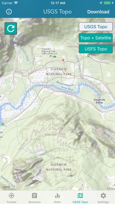
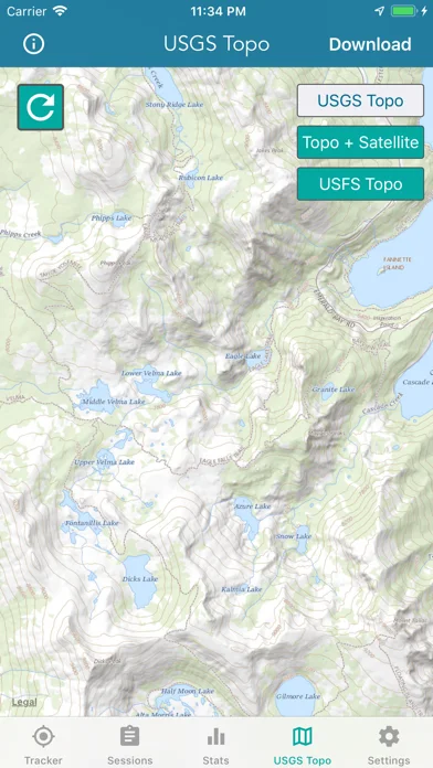
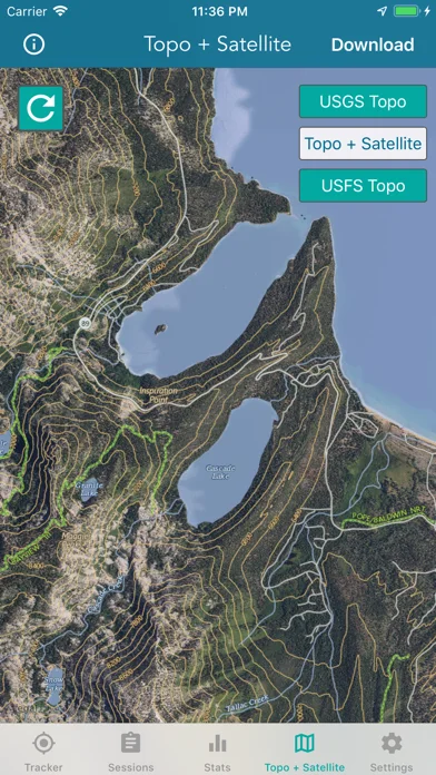
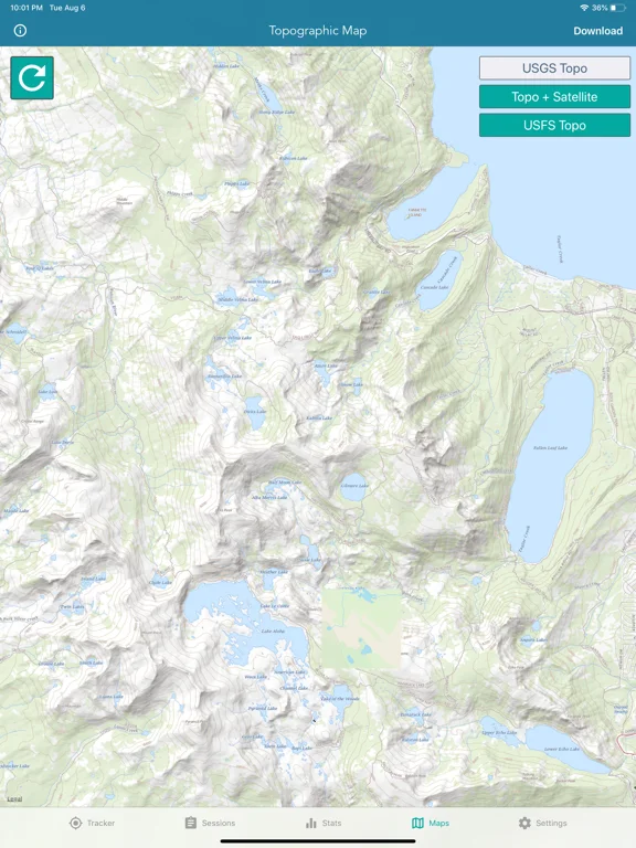
What you can do
- Download eligible topo or imagery maps
- Track distance, ascent and time
- Review elevation-colored tracks or iCloud backups
App Store review themes
Recurring praise and complaints, grouped by topic.
3 reviews · US App Store · Written feedback; review platforms are not identified
What reviewers like
No recurring positive theme has at least three supporting reviews.
What reviewers dislike
No recurring negative theme has at least three supporting reviews.
Good for
- Users exploring supported US map coverage
Consider alternatives for
- Users needing guaranteed live trail conditions
Limitations & considerations
- Captured minimum: iOS 15.0.
- Map age, trail access and GPS accuracy vary; calorie estimates are approximate and this is not sole safety equipment.
Privacy & permissions
Precise tracks and cloud copies reveal travel; review sharing.
Sources & review notes Updated Nov 10, 2026
Reviewed by iApp4Me Editorial Team. Recommendations use the linked documentation and attributed accounts; device observations are identified separately.
- US App Store developer description
Complete description, download price and compatibility metadata captured 2026-11-02.
No comments yet. Be the first to share your experience.