
Track N Trail - Hunting & Maps
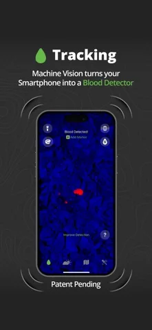
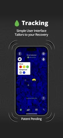
Track’n Trail highlights image colors for game recovery and displays subscription map/weather information.
Consider only as a supplementary outdoor reference
Waypoints and parcel layers can help organize observations.
Keep in mind: Color isolation is not a validated blood test, property survey or permission to enter land. Detection, ownership/easement currency and shot-visualizer suggestions may be wrong; follow lawful access and qualified recovery guidance.
Inside the app
Official product images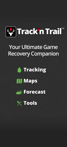
What you can do
- Try eligible color-highlight tracking
- Mark recovery waypoints
- View entitled parcel/weather and 3D reference tools
Good for
- Experienced adults checking observations independently
Consider alternatives for
- Users relying on guaranteed blood identification or legal boundary authority
Limitations & considerations
- Captured minimum: iOS 16.
- Color isolation is not a validated blood test, property survey or permission to enter land. Detection, ownership/easement currency and shot-visualizer suggestions may be wrong; follow lawful access and qualified recovery guidance.
Privacy & permissions
Tracks, photos and ownership/location displays are sensitive; avoid sharing personal contacts or precise private-property records.
Sources & review notes Updated Nov 11, 2026
Reviewed by iApp4Me Editorial Team. Recommendations use the linked documentation and attributed accounts; device observations are identified separately.
- US App Store developer description
Complete description, download price and compatibility metadata captured 2026-11-02.
No comments yet. Be the first to share your experience.