Travel
US Public Lands
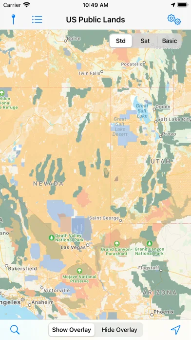
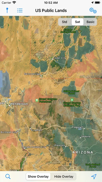
US Public Lands overlays boundaries for federal land agencies on maps, with an offline base map and layer toggles.
Useful for getting an initial sense of which federal agency may administer a nearby area.
The agency layers and links give you a starting point for checking access, rules, and permits directly.
Keep in mind: The publisher says some boundaries can be imprecise and private parcels can be missing. Confirm details with the agency and local signage.
Inside the app
Official product images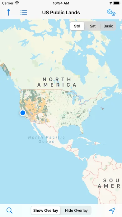
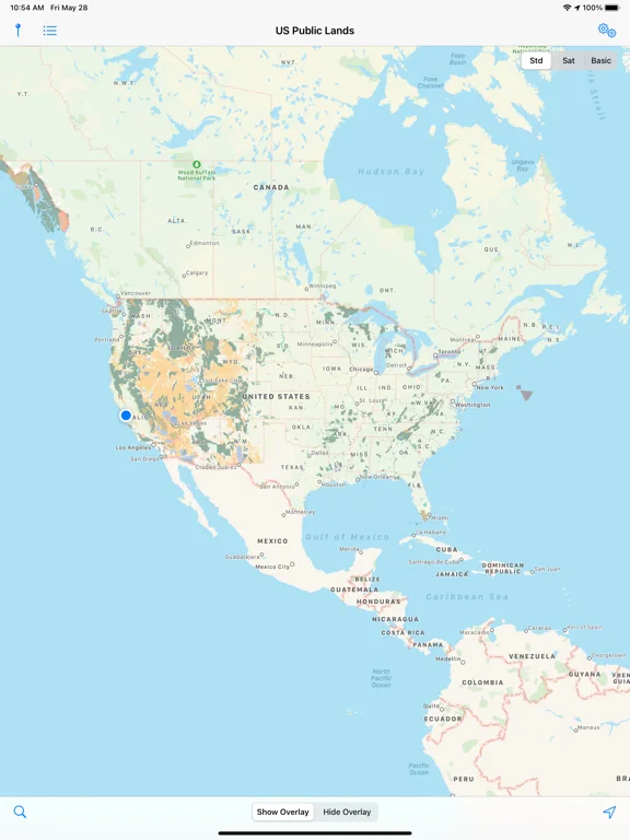
What you can do
- Toggle individual federal land layers
- Use the on-device base map offline
- Find your position by GPS or search while online
Good for
- People comparing broad land boundaries before a trip
Consider alternatives for
- Anyone needing a surveyed boundary or verified campsite inventory
Limitations & considerations
- Captured minimum: iOS 15.6.
- The publisher says some boundaries can be imprecise and private parcels can be missing. Confirm details with the agency and local signage.
Privacy & permissions
GPS can show your current location; optional maps and search use network access when not cached.
Sources & review notes Updated Nov 11, 2026
Reviewed by iApp4Me Editorial Team. Recommendations use the linked documentation and attributed accounts; device observations are identified separately.
- US App Store developer description
Complete description, download price and compatibility metadata captured 2026-11-02.
No comments yet. Be the first to share your experience.