Weather
USGS WaterFlow
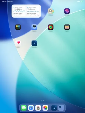
View USGS streamgauge readings and NOAA forecast context with age indicators and thresholds.
Useful for general river-condition awareness and source cross-checks
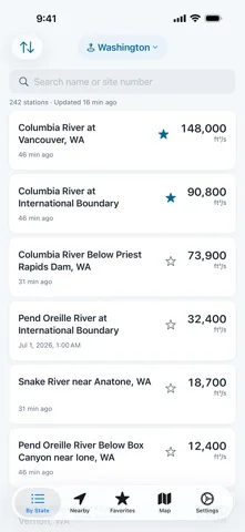
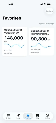
Map/state/favorite views and sparklines help distinguish selected gauges.
Keep in mind: Live/every-gauge coverage is not guaranteed; station gaps, delay and thresholds do not establish safe water entry or flood clearance. Follow official warnings.
Inside the app
Official product images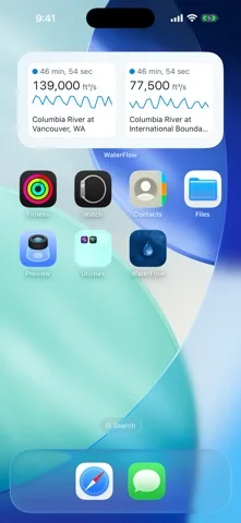
What you can do
- Gauge flow/height/temperature detail
- State/nearby map and seven-day trends
- Favorites/widgets and high/low alerts
Good for
- People verifying report time and primary water forecasts
Consider alternatives for
- Emergency flood warning or a swimming/boating safety decision tool
Limitations & considerations
- Captured minimum: iOS 17.0.
- Live/every-gauge coverage is not guaranteed; station gaps, delay and thresholds do not establish safe water entry or flood clearance. Follow official warnings.
Privacy & permissions
Publisher states no analytics/ads and local favorites; rough nearby queries go to USGS, so location use is not entirely network-free.
Sources & review notes Updated Nov 12, 2026
Reviewed by iApp4Me Editorial Team. Recommendations use the linked documentation and attributed accounts; device observations are identified separately.
- US App Store developer description
Complete description, download price and compatibility metadata captured 2026-11-02.
No comments yet. Be the first to share your experience.