Navigation
Wasatch Backcountry Skiing Map
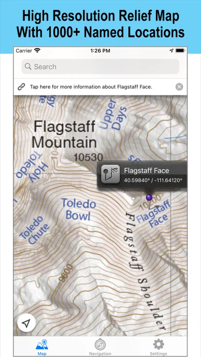
Wasatch Backcountry Skiing Map provides offline terrain maps and an index for Utah's Central Wasatch.
Consider it if you want topo and slope shading together with the publisher's location index.
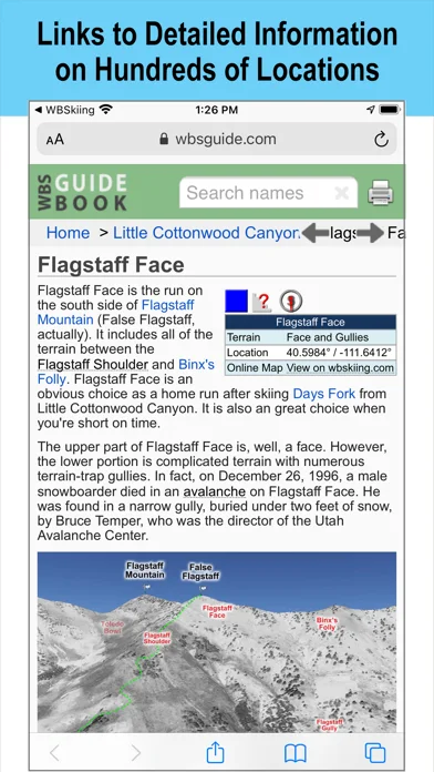
GPS can show your position without cellular service, while linked guide entries add information for some places.
Keep in mind: The destination arrow ignores hazards. Use official conditions, training, and appropriate navigation rather than relying on an app arrow.
Inside the app
Official product images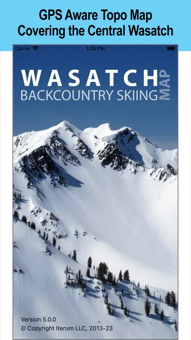
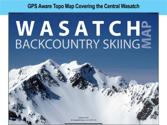
What you can do
- Find named locations in the index
- View topo contours and slope shading offline
- Open a linked guide entry when connected
Good for
- People preparing for travel in the Central Wasatch coverage area
Consider alternatives for
- Anyone needing avalanche guidance or safe routing from the app
Limitations & considerations
- Captured minimum: iOS 18.6.
- The destination arrow ignores hazards. Use official conditions, training, and appropriate navigation rather than relying on an app arrow.
Privacy & permissions
GPS can show your location; opening linked guide pages uses network access.
Sources & review notes Updated Nov 11, 2026
Reviewed by iApp4Me Editorial Team. Recommendations use the linked documentation and attributed accounts; device observations are identified separately.
- US App Store developer description
Complete description, download price and compatibility metadata captured 2026-11-02.
No comments yet. Be the first to share your experience.