Navigation
Ways Map : Open Street View
Ways Map combines panoramic street imagery, satellite maps, and tools for checking coordinates and distances.
Consider it for previewing a place and looking up a map measurement in one app.
It offers different views and tools such as a compass, speedometer, and point-to-point measurement.
Keep in mind: Street imagery is previously captured; it does not show current conditions. Check coverage and use appropriate tools for precise surveying.
Inside the app
Official product images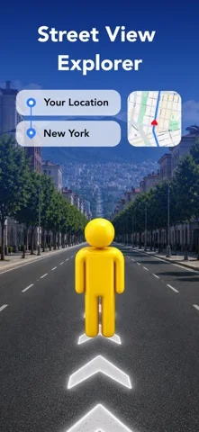
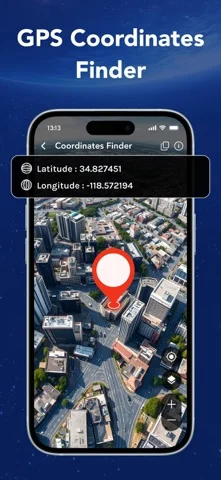

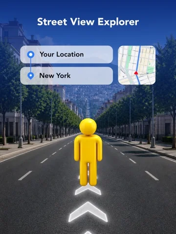
What you can do
- Browse panoramas or satellite maps
- Find coordinates and nearby destinations
- Measure an area or distance on the map
Good for
- People comparing map views while planning a trip
Consider alternatives for
- Anyone seeking a live street camera feed or authoritative property lines
Limitations & considerations
- Captured minimum: iOS 15.0.
- Street imagery is previously captured; it does not show current conditions. Check coverage and use appropriate tools for precise surveying.
Privacy & permissions
Location can feed the map and navigation features; the listing links a policy without establishing local processing.
Sources & review notes Updated Nov 11, 2026
Reviewed by iApp4Me Editorial Team. Recommendations use the linked documentation and attributed accounts; device observations are identified separately.
- US App Store developer description
Complete description, download price and compatibility metadata captured 2026-11-02.
No comments yet. Be the first to share your experience.